Weather Warnings Archive: Tuesday 27 Jan 2026 18:01 GMT - UK


00:00-06:00

06:00-12:00

12:00-18:00

18:00-24:00


Severe Weather Warnings: Ice
issued by the Metoffice at
18:01, 27.01.2026
valid from
00:00, 28.01.2026
until
10:00, 28.01.2026
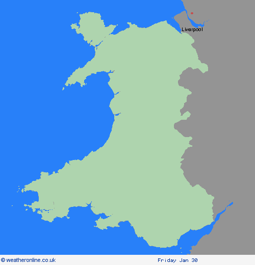
Region: Wales
Clearing skies Tuesday night will allow temperatures to fall below freezing soon after midnight and on Wednesday morning. After the recent wet weather, icy patches are likely to develop on some untreated surfaces. What Should I Do? Keep yourself and your family safe when it is icy. Plan to leave the house at least five minutes earlier than normal. Not needing to rush, reduces your risk of accidents, slips, and falls. If you need to make a journey on foot, try to use pavements along main roads which are likely to be less slippery. Similarly, if cycling, try and stick to main roads which are more likely to have been treated. Give yourself the best chance of avoiding delays by checking road conditions if driving, or bus and train timetables, amending your travel plans if necessary. Be prepared for weather warnings to change: when a weather warning is issued, the Met Office recommends staying up to date with the weather forecast in your area.
Chief ForecasterPatchy ice is likely to form on untreated surfaces by Wednesday morning and may lead to some disruption.
The public is advised to take extra care, further information and advice can be found here: http://www.metoffice.gov.uk/weather/uk/links.html
Severe Weather Warnings: Wind
issued by the Metoffice at
18:01, 27.01.2026
valid from
05:00, 27.01.2026
until
16:00, 27.01.2026
Region: Wales
South to southwesterly winds, associated with Storm Chandra, will become very strong during Tuesday morning with peak gusts typically of 50-60 mph inland and 60-70 mph along exposed coasts. There is a small chance of gusts up to 80 mph for parts of the Isles of Scilly and Pembrokeshire. Winds should gradually ease later in the afternoon. What Should I Do? Prepare to protect your property and people from injury. Check for loose items outside your home and plan how you could secure them. Items include; bins, garden furniture, trampolines, tents, sheds, and fences. Give yourself the best chance of avoiding delays by checking road conditions if driving, or bus and train timetables, amending your travel plans if necessary. People cope better with power cuts when they have prepared for them in advance. It’s easy to do; consider gathering torches and batteries, a mobile phone power pack and other essential items. If you are on the coast, stay safe during stormy weather by being aware of large waves. Even from the shore large breaking waves can sweep you off your feet and out to sea. Take care if walking near cliffs; know your route and keep dogs on a lead. In an emergency, call 999 and ask for the Coastguard. Be prepared for weather warnings to change quickly. When a weather warning is issued, the Met Office recommends staying up to date with the weather forecast in your area
Chief ForecasterStorm Chandra bringing a chance of travel disruption from very strong south to southwesterly winds during Tuesday.
The public is advised to take extra care, further information and advice can be found here: http://www.metoffice.gov.uk/weather/uk/links.html
Severe Weather Warnings: Rain
issued by the Metoffice at
18:01, 27.01.2026
valid from
13:00, 26.01.2026
until
10:00, 27.01.2026
Region: Wales
Storm Chandra will bring outbreaks of rain, heavy at times, across parts of southern and southwest England as well as southern and mid Wales from Monday afternoon, through Tuesday morning before clearing to heavy showers later on Tuesday. Rainfall totals are expected to reach 20-30 mm widely, with 50-80 mm likely across higher ground, especially Dartmoor, Exmoor and Bannau Brycheiniog (Brecon Beacons). With wet conditions prior to this period, the rain will fall onto saturated ground, accentuating flooding impacts in places. Strong southeasterly winds are also likely. What Should I Do? Check if your property could be at risk of flooding. If so, consider preparing a flood plan and an emergency flood kit. Give yourself the best chance of avoiding delays by checking road conditions if driving, or bus and train timetables, amending your travel plans if necessary. People cope better with power cuts when they have prepared for them in advance. It’s easy to do; consider gathering torches and batteries, a mobile phone power pack and other essential items. Be prepared for weather warnings to change quickly: when a weather warning is issued, the Met Office recommends staying up to date with the weather forecast in your area.
Chief ForecasterStorm Chandra bringing outbreaks of heavy rain with some transport disruption and flooding in places.
The public is advised to take extra care, further information and advice can be found here: http://www.metoffice.gov.uk/weather/uk/links.html


27.01.2026