Weather Warnings Archive: Tuesday 27 Jan 2026 18:01 GMT - UK


00:00-06:00

06:00-12:00

12:00-18:00

18:00-24:00


Severe Weather Warnings: Rain
issued by the Metoffice at
18:01, 27.01.2026
valid from
00:00, 27.01.2026
until
12:00, 27.01.2026
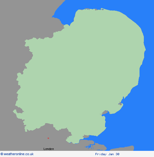
Region: East of England
Spells of heavy rain are expected during Monday night through to Tuesday morning. 15-25 mm of rain is expected to build up widely across the area with a few areas potentially seeing 30-40 mm and as much as 50 mm over some hills. What Should I Do? Check if your property could be at risk of flooding. If so, consider preparing a flood plan and an emergency flood kit. Give yourself the best chance of avoiding delays by checking road conditions if driving, or bus and train timetables, amending your travel plans if necessary. People cope better with power cuts when they have prepared for them in advance. It’s easy to do; consider gathering torches and batteries, a mobile phone power pack and other essential items. Be prepared for weather warnings to change quickly: when a weather warning is issued, the Met Office recommends staying up to date with the weather forecast in your area.
Chief ForecasterHeavy rain likely to lead to some transport disruption and possible flooding in places.
The public is advised to take extra care, further information and advice can be found here: http://www.metoffice.gov.uk/weather/uk/links.html
Severe Weather Warnings: Ice
issued by the Metoffice at
18:01, 27.01.2026
valid from
00:00, 28.01.2026
until
10:00, 28.01.2026
Region: East of England
Clearing skies Tuesday night will allow temperatures to fall below freezing soon after midnight and on Wednesday morning. After the recent wet weather, icy patches are likely to develop on some untreated surfaces. What Should I Do? Keep yourself and your family safe when it is icy. Plan to leave the house at least five minutes earlier than normal. Not needing to rush, reduces your risk of accidents, slips, and falls. If you need to make a journey on foot, try to use pavements along main roads which are likely to be less slippery. Similarly, if cycling, try and stick to main roads which are more likely to have been treated. Give yourself the best chance of avoiding delays by checking road conditions if driving, or bus and train timetables, amending your travel plans if necessary. Be prepared for weather warnings to change: when a weather warning is issued, the Met Office recommends staying up to date with the weather forecast in your area.
Chief ForecasterPatchy ice is likely to form on untreated surfaces by Wednesday morning and may lead to some disruption.
The public is advised to take extra care, further information and advice can be found here: http://www.metoffice.gov.uk/weather/uk/links.html


27.01.2026