Weather Warnings Archive: Tuesday 27 Jan 2026 18:01 GMT - UK


00:00-06:00

06:00-12:00

12:00-18:00

18:00-24:00


Severe Weather Warnings: Wind
issued by the Metoffice at
18:01, 27.01.2026
valid from
05:00, 27.01.2026
until
23:59, 27.01.2026
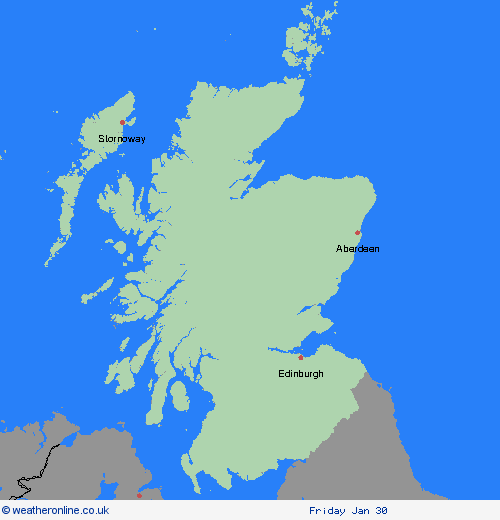
Region: SW Scotland, Lothian Borders
Storm Chandra will bring a period of strong easterly or southeasterly winds to southwest Scotland during Tuesday. Gusts of 50-60 mph are likely, especially around exposed coasts. Large waves may bringing additional impacts to some coastal areas. Impacts may be higher than normal from winds of this magnitude because of the unusual direction as well as combining with spells of heavy rain. What Should I Do? Give yourself the best chance of avoiding delays by checking road conditions if driving, or bus and train timetables, amending your travel plans if necessary. People cope better with power cuts when they have prepared for them in advance. It’s easy to do; consider gathering torches and batteries, a mobile phone power pack and other essential items. If you are on the coast, stay safe during stormy weather by being aware of large waves. Even from the shore large breaking waves can sweep you off your feet and out to sea. Take care if walking near cliffs; know your route and keep dogs on a lead. In an emergency, call 999 and ask for the Coastguard. Be prepared for weather warnings to change quickly: when a weather warning is issued, the Met Office recommends staying up to date with the weather forecast in your area.
Chief ForecasterStorm Chandra will bring strong winds, perhaps leading to some disruption.
The public is advised to take extra care, further information and advice can be found here: http://www.metoffice.gov.uk/weather/uk/links.html
Severe Weather Warnings: Ice
issued by the Metoffice at
18:01, 27.01.2026
valid from
00:00, 28.01.2026
until
10:00, 28.01.2026
Region: SW Scotland, Lothian Borders
Clearing skies Tuesday night will allow temperatures to fall below freezing soon after midnight and on Wednesday morning. After the recent wet weather, icy patches are likely to develop on some untreated surfaces. What Should I Do? Keep yourself and your family safe when it is icy. Plan to leave the house at least five minutes earlier than normal. Not needing to rush, reduces your risk of accidents, slips, and falls. If you need to make a journey on foot, try to use pavements along main roads which are likely to be less slippery. Similarly, if cycling, try and stick to main roads which are more likely to have been treated. Give yourself the best chance of avoiding delays by checking road conditions if driving, or bus and train timetables, amending your travel plans if necessary. Be prepared for weather warnings to change: when a weather warning is issued, the Met Office recommends staying up to date with the weather forecast in your area.
Chief ForecasterPatchy ice is likely to form on untreated surfaces by Wednesday morning and may lead to some disruption.
The public is advised to take extra care, further information and advice can be found here: http://www.metoffice.gov.uk/weather/uk/links.html
Severe Weather Warnings: Rain
issued by the Metoffice at
18:01, 27.01.2026
valid from
00:00, 27.01.2026
until
15:00, 27.01.2026
Region: SW Scotland, Lothian Borders
Outbreaks of rain will spread northwards on Monday night into Tuesday, falling as snow on high ground. Rainfall accumulations of 20-30mm are likely fairly widely with 40-50mm possible in places. Totals may accumulate fairly quickly in parts of southwest Scotland, which could see accumulations of 20mm in a 3 hour period. Whilst accumulating snow is unlikely at low-levels, may be some wet snow with minor accumulations above 400m of 2cm possible on the highest routes. Strong, gusty winds, especially to the west of hills, may exacerbate the potential for transport disruption. What Should I Do? Check if your property could be at risk of flooding. If so, consider preparing a flood plan and an emergency flood kit. Give yourself the best chance of avoiding delays by checking road conditions if driving, or bus and train timetables, amending your travel plans if necessary. People cope better with power cuts when they have prepared for them in advance. It’s easy to do; consider gathering torches and batteries, a mobile phone power pack and other essential items. Be prepared for weather warnings to change quickly: when a weather warning is issued, the Met Office recommends staying up to date with the weather forecast in your area.
Chief ForecasterHeavy rain may lead to some travel and power disruption on Tuesday
The public is advised to take extra care, further information and advice can be found here: http://www.metoffice.gov.uk/weather/uk/links.html


27.01.2026