Weather Warnings Archive: Tuesday 11 Nov 2025 21:41 GMT - UK


00:00-06:00

06:00-12:00

12:00-18:00

18:00-24:00


Severe Weather Warnings: Rain
issued by the Metoffice at
21:41, 11.11.2025
valid from
06:00, 12.11.2025
until
23:59, 12.11.2025
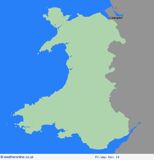
Region: Wales
After heavy rain on Tuesday, conditions will improve briefly into Wednesday. However, another spell of persistent and sometimes heavy rain is expected to move in from the south on Wednesday morning. It’s uncertain exactly where the heaviest rain will fall, so confidence is low about the highest totals in specific places within the warning area. Despite this, there is a good chance of 20-30 mm of rain falling quite widely, over a 12-15 hour period, and some exposed locations, most likely on south facing hills, could see 40-50 mm or rain. With widely wet antecedent conditions there is an increased risk of flooding in some areas. What Should I Do? Check if your property could be at risk of flooding. If so, consider preparing a flood plan and an emergency flood kit. Give yourself the best chance of avoiding delays by checking road conditions if driving, or bus and train timetables, amending your travel plans if necessary. People cope better with power cuts when they have prepared for them in advance. It’s easy to do; consider gathering torches and batteries, a mobile phone power pack and other essential items. Be prepared for weather warnings to change quickly: when a weather warning is issued, the Met Office recommends staying up to date with the weather forecast in your area.
Chief ForecasterA further period of persistent, and at times heavy rainfall is likely to develop during Wednesday.
The public is advised to take extra care, further information and advice can be found here: http://www.metoffice.gov.uk/weather/uk/links.html
