Weather Warnings Archive: Tuesday 18 Nov 2025 18:00 GMT - UK


00:00-06:00

06:00-12:00

12:00-18:00

18:00-24:00


Severe Weather Warnings: Ice
issued by the Metoffice at
18:00, 18.11.2025
valid from
00:00, 19.11.2025
until
11:00, 19.11.2025
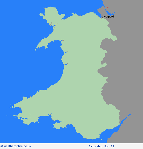
Region: Wales
Outbreaks of rain will spread southwards on Tuesday night into Wednesday morning, potentially falling as snow on hills for a time, before clearing to the south. As skies clear later, allowing temperatures to fall close to or below freezing, this will bring the risk of icy patches on untreated surfaces. Some temporary slushy snow deposits will be possible where snow persists for long enough, especially on grassy surfaces, but any significant accumulations will be largely restricted to communities and transport routes above about 300 m elevation. What Should I Do? Keep yourself and your family safe when it is icy. Plan to leave the house at least five minutes earlier than normal. Not needing to rush, reduces your risk of accidents, slips, and falls. If you need to make a journey on foot, try to use pavements along main roads which are likely to be less slippery. Similarly, if cycling, try and stick to main roads which are more likely to have been treated. Give yourself the best chance of avoiding delays by checking road conditions if driving, or bus and train timetables, amending your travel plans if necessary. Be prepared for weather warnings to change: when a weather warning is issued, the Met Office recommends staying up to date with the weather forecast in your area.
Chief ForecasterRain and hill snow, followed by clearing skies, will lead to the risk of icy patches on Tuesday night into Wednesday morning
The public is advised to take extra care, further information and advice can be found here: http://www.metoffice.gov.uk/weather/uk/links.html


18.11.2025