Weather Warnings Archive: Sunday 30 Nov 2025 12:13 GMT - UK


Severe Weather Warnings: Rain
issued by the Metoffice at
12:13, 30.11.2025
valid from
00:00, 01.12.2025
until
03:00, 02.12.2025
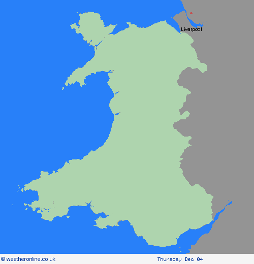
Region: Wales
An area of heavy rain will move in from the west late on Sunday evening, becoming widespread across the region early Monday, before clearing to the east Monday night. Rainfall accumulations will vary across the region, but 20-30 mm of rain is expected to accumulate quite widely. As much as 50-80 mm could build up across areas of high ground in southwest England and Wales, with very locally 80-120 mm possible for parts of south Wales and Eryri. Strong south to southwesterly winds will also accompany the heavy rain, with gales possible around coasts and over high ground. What Should I Do? Check if your property could be at risk of flooding. If so, consider preparing a flood plan and an emergency flood kit. Give yourself the best chance of avoiding delays by checking road conditions if driving, or bus and train timetables, amending your travel plans if necessary. People cope better with power cuts when they have prepared for them in advance. It’s easy to do; consider gathering torches and batteries, a mobile phone power pack and other essential items. Be prepared for weather warnings to change quickly: when a weather warning is issued, the Met Office recommends staying up to date with the weather forecast in your area.
Chief ForecasterHeavy rain could bring some disruption during Monday.
The public is advised to take extra care, further information and advice can be found here: http://www.metoffice.gov.uk/weather/uk/links.html
Severe Weather Warnings: Rain
issued by the Metoffice at
12:13, 30.11.2025
valid from
00:00, 01.12.2025
until
23:59, 01.12.2025
Region: Wales
An area of heavy rain is expected to move over south Wales between late Sunday and late Monday. Whilst rainfall amounts will vary, some heavy and persistent rainfall is likely to fall, especially over high ground, for example Bannau Brycheiniog. Rain should clear to the east Monday night. 20-40 mm of rain will fall extensively across the wider region, but 60-80 mm is expected to accumulate over some south- and southwest-facing high ground in south Wales, with a few places perhaps seeing nearer 100-120 mm. In addition to the potential for flooding impacts, this increases the chance of landslides on both natural and infrastructure slopes.. Strong south to southwesterly winds will also accompany the heavy rain, with gales possible around coasts and over high ground. What Should I Do? Check if your property could be at risk of flooding. If so, consider preparing a flood plan and an emergency flood kit. Give yourself the best chance of avoiding delays by checking road conditions. You may need to amend or even cancel journeys if driving conditions are dangerous. Keep up to date with bus and train timetables for delays or cancellations. It is not safe to drive, walk or swim through floodwater, avoid it where possible and if you are affected by fast flowing or deep-water call 999, and wait for help. People cope better with power cuts when they have prepared for them in advance. It’s easy to do; consider gathering torches and batteries, a mobile phone power pack and other essential items. Be prepared for weather warnings to change quickly. When a weather warning is issued, the Met Office recommends staying up to date with the weather forecast in your area.
Chief ForecasterHeavy rain is likely to bring some disruption and probable flooding on Monday.
The public is advised to take extra care, further information and advice can be found here: http://www.metoffice.gov.uk/weather/uk/links.html
30.11.2025


