Weather Warnings Archive: Thursday 20 Nov 2025 12:08 GMT - UK


00:00-06:00

06:00-12:00

12:00-18:00

18:00-24:00


Severe Weather Warnings: Ice
issued by the Metoffice at
12:08, 20.11.2025
valid from
00:00, 21.11.2025
until
11:00, 21.11.2025
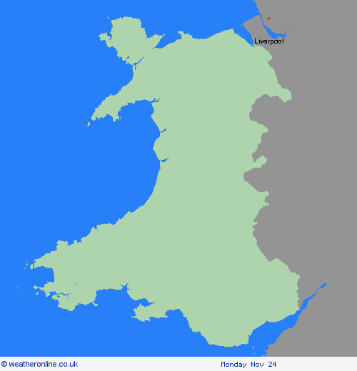
Region: Wales
Wintry showers will continue to feed inland through Thursday night before tending to ease away on Friday morning. At low levels the showers will fall as rain, sleet or small hail, while above 300 m some will fall as snow with further small accumulations of 1 to 3 cm possible. As temperatures will fall widely below freezing showers at lower levels will lead to icy patches developing in many locations. What Should I Do? Keep yourself and your family safe when it is icy. Plan to leave the house at least five minutes earlier than normal. Not needing to rush, reduces your risk of accidents, slips, and falls. If you need to make a journey on foot, try to use pavements along main roads which are likely to be less slippery. Similarly, if cycling, try and stick to main roads which are more likely to have been treated. Give yourself the best chance of avoiding delays by checking road conditions if driving, or bus and train timetables, amending your travel plans if necessary. Be prepared for weather warnings to change: when a weather warning is issued, the Met Office recommends staying up to date with the weather forecast in your area.
Chief ForecasterWintry showers will lead to icy patches and some disruption on Thursday night and Friday morning.
The public is advised to take extra care, further information and advice can be found here: http://www.metoffice.gov.uk/weather/uk/links.html
Severe Weather Warnings: Snow/Ice
issued by the Metoffice at
12:08, 20.11.2025
valid from
12:00, 19.11.2025
until
23:59, 20.11.2025
Region: Wales
Wintry showers will feed southwards across southwest and northwest Wales through Thursday, moving inland on brisk northerly winds. Some snow accumulations will be possible in places, mostly above 200m away from the immediate windward coasts. Where showers are most frequent accumulations of 2-5 cm are possible on hills above 200 m in Pembrokeshire and west Carmarthenshire. Gusty winds and hail may accompany some of the showers, and where showers persist and/or snow partially thaws and refreezes on Thursday evening and night, this will bring a risk of ice. What Should I Do? Snowy, wintry weather can cause delays and make driving conditions dangerous, so to keep yourself and others safe: plan your route, checking for delays and road closures, amending your travel plans if necessary; if driving, leave more time to prepare and check your car before setting off; make sure you have essentials packed in your car in the event of any delays (warm clothing, food, water, a blanket, a torch, ice scraper/de-icer, a warning triangle, high visibility vest and an in-car phone charger). Keep yourself and your family safe when it is icy. Plan to leave the house at least five minutes earlier than normal to reduce your risk of accidents, slips, and falls. If making a journey on foot, try to use pavements along main roads which are likely to be less slippery. Similarly, if cycling, try and stick to main roads which are more likely to have been treated. Give yourself the best chance of avoiding delays by checking road conditions if driving, or bus and train timetables, amending your travel plans if necessary. People cope better with power cuts when they have prepared for them in advance. It’s easy to do; consider gathering torches and batteries, a mobile phone power pack and other essential items. Be prepared for weather warnings to change: when a weather warning is issued, the Met Office recommends staying up to date with the weather forecast in your area.
Chief ForecasterWintry showers feeding southwards through Thursday may lead to some disruption
The public is advised to take extra care, further information and advice can be found here: http://www.metoffice.gov.uk/weather/uk/links.html


20.11.2025