Weather Warnings Archive: Wednesday 12 Nov 2025 18:00 GMT - UK


00:00-06:00

06:00-12:00

12:00-18:00

18:00-24:00


Severe Weather Warnings: Rain
issued by the Metoffice at
18:00, 12.11.2025
valid from
06:00, 12.11.2025
until
23:59, 12.11.2025
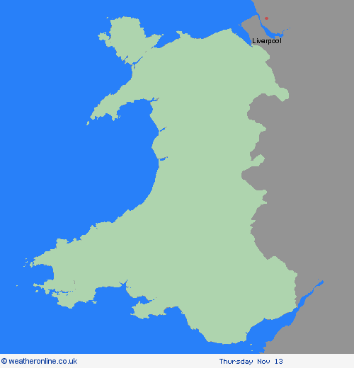
Region: Wales
After heavy rain on Tuesday and overnight, further rain, heavy at times, is expected to move north during Wednesday. There is a good chance a further 15-25 mm of rain falling quite widely through the remainder of Wednesday and some exposed locations, most likely on south facing hills, could see 30-40 mm of rain. With widely wet antecedent conditions there is an increased risk of flooding in some areas. What Should I Do? Check if your property could be at risk of flooding. If so, consider preparing a flood plan and an emergency flood kit. Give yourself the best chance of avoiding delays by checking road conditions if driving, or bus and train timetables, amending your travel plans if necessary. People cope better with power cuts when they have prepared for them in advance. It’s easy to do; consider gathering torches and batteries, a mobile phone power pack and other essential items. Be prepared for weather warnings to change quickly: when a weather warning is issued, the Met Office recommends staying up to date with the weather forecast in your area.
Chief ForecasterFurther rain on Wednesday to bring some travel disruption and flooding
The public is advised to take extra care, further information and advice can be found here: http://www.metoffice.gov.uk/weather/uk/links.html
