Weather Warnings Archive: Wednesday 22 Oct 2025 11:19 BST - UK


00:00-06:00

06:00-12:00

12:00-18:00

18:00-24:00


Severe Weather Warnings: Rain
issued by the Metoffice at
10:19, 22.10.2025
valid from
00:00, 23.10.2025
until
21:00, 23.10.2025
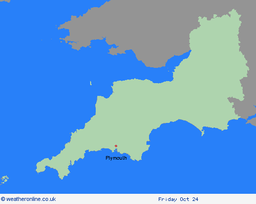
Region: South West England
A complex area of low pressure over the mid-Atlantic early this week is expected to move towards the UK whilst deepening, but confidence in the details of its track and intensity as it crosses the UK remains fairly low. Despite these uncertainties, there is at least a medium likelihood that an extensive, and in places heavy swathe of rain will move into southwestern Britain during Wednesday evening and spread quickly northeast, with totals by early Thursday morning of widely 20-30mm, and for some places 30-50mm. There is a small chance a few places could exceed this, most likely over North Devon and Cornwall and more generally in the east of the highlighted area. In association with the rain, conditions are expected to turn windy with a chance of gales, initially along southern and eastern coasts, but more widely across southern Britain during Thursday daytime. What Should I Do? Check if your property could be at risk of flooding. If so, consider preparing a flood plan and an emergency flood kit. Give yourself the best chance of avoiding delays by checking road conditions if driving, or bus and train timetables, amending your travel plans if necessary. People cope better with power cuts when they have prepared for them in advance. It’s easy to do; consider gathering torches and batteries, a mobile phone power pack and other essential items. Be prepared for weather warnings to change quickly: when a weather warning is issued, the Met Office recommends staying up to date with the weather forecast in your area.
Chief ForecasterRisk of heavy rain for southern and eastern parts of Britain.
The public is advised to take extra care, further information and advice can be found here: http://www.metoffice.gov.uk/weather/uk/links.html

