Weather Warnings Archive: Wednesday 01 Oct 2025 11:52 BST - UK


00:00-06:00
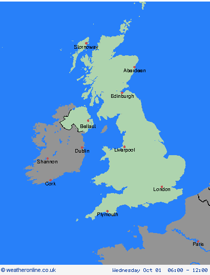
06:00-12:00

12:00-18:00

18:00-24:00


Severe Weather Warnings: Rain
issued by the Metoffice at
10:52, 01.10.2025
valid from
17:00, 01.10.2025
until
23:59, 02.10.2025
Region: Highland & Eilean Siar
Further rain is expected to affect much of west and northwest Scotland during Wednesday night and Thursday, persistent across some coastal and upland areas. The rain will turn heavier for a time during Thursday afternoon and evening, before clearing most areas by or soon after midnight. During the warning period, 30-50 mm is expected widely with 60-80 mm possible in parts of the northwest and on high ground. Coming on top of rain that has already fallen in recent days, this is expected to lead to a risk of landslides as well as localised flooding. In addition, strong winds are expected to accompany the rain, with gusts of 45-55 mph likely around coasts and hills later on Thursday. What Should I Do? Check if your property could be at risk of flooding. If so, consider preparing a flood plan and an emergency flood kit. Give yourself the best chance of avoiding delays by checking road conditions if driving, or bus and train timetables, amending your travel plans if necessary. People cope better with power cuts when they have prepared for them in advance. It’s easy to do; consider gathering torches and batteries, a mobile phone power pack and other essential items. Be prepared for weather warnings to change quickly: when a weather warning is issued, the Met Office recommends staying up to date with the weather forecast in your area.
Chief ForecasterPersistent, heavy rain may lead to transport disruption and flooding.
The public is advised to take extra care, further information and advice can be found here: http://www.metoffice.gov.uk/weather/uk/links.html
Severe Weather Warnings: Rain
issued by the Metoffice at
10:52, 01.10.2025
valid from
17:00, 01.10.2025
until
23:59, 02.10.2025
Region: Strathclyde
Further rain is expected to affect much of west and northwest Scotland during Wednesday night and Thursday, persistent across some coastal and upland areas. The rain will turn heavier for a time during Thursday afternoon and evening, before clearing most areas by or soon after midnight. During the warning period, 30-50 mm is expected widely with 60-80 mm possible in parts of the northwest and on high ground. Coming on top of rain that has already fallen in recent days, this is expected to lead to a risk of landslides as well as localised flooding. In addition, strong winds are expected to accompany the rain, with gusts of 45-55 mph likely around coasts and hills later on Thursday. What Should I Do? Check if your property could be at risk of flooding. If so, consider preparing a flood plan and an emergency flood kit. Give yourself the best chance of avoiding delays by checking road conditions if driving, or bus and train timetables, amending your travel plans if necessary. People cope better with power cuts when they have prepared for them in advance. It’s easy to do; consider gathering torches and batteries, a mobile phone power pack and other essential items. Be prepared for weather warnings to change quickly: when a weather warning is issued, the Met Office recommends staying up to date with the weather forecast in your area.
Chief ForecasterPersistent, heavy rain may lead to transport disruption and flooding.
The public is advised to take extra care, further information and advice can be found here: http://www.metoffice.gov.uk/weather/uk/links.html
Severe Weather Warnings: Rain
issued by the Metoffice at
10:52, 01.10.2025
valid from
17:00, 01.10.2025
until
23:59, 02.10.2025
Region: Central, Tayside & Fife
Further rain is expected to affect much of west and northwest Scotland during Wednesday night and Thursday, persistent across some coastal and upland areas. The rain will turn heavier for a time during Thursday afternoon and evening, before clearing most areas by or soon after midnight. During the warning period, 30-50 mm is expected widely with 60-80 mm possible in parts of the northwest and on high ground. Coming on top of rain that has already fallen in recent days, this is expected to lead to a risk of landslides as well as localised flooding. In addition, strong winds are expected to accompany the rain, with gusts of 45-55 mph likely around coasts and hills later on Thursday. What Should I Do? Check if your property could be at risk of flooding. If so, consider preparing a flood plan and an emergency flood kit. Give yourself the best chance of avoiding delays by checking road conditions if driving, or bus and train timetables, amending your travel plans if necessary. People cope better with power cuts when they have prepared for them in advance. It’s easy to do; consider gathering torches and batteries, a mobile phone power pack and other essential items. Be prepared for weather warnings to change quickly: when a weather warning is issued, the Met Office recommends staying up to date with the weather forecast in your area.
Chief ForecasterPersistent, heavy rain may lead to transport disruption and flooding.
The public is advised to take extra care, further information and advice can be found here: http://www.metoffice.gov.uk/weather/uk/links.html

