Weather Warnings Archive: Thursday 13 Nov 2025 19:00 GMT - UK


00:00-06:00

06:00-12:00

12:00-18:00

18:00-24:00


Severe Weather Warnings: Rain
issued by the Metoffice at
19:00, 13.11.2025
valid from
00:00, 13.11.2025
until
19:00, 13.11.2025
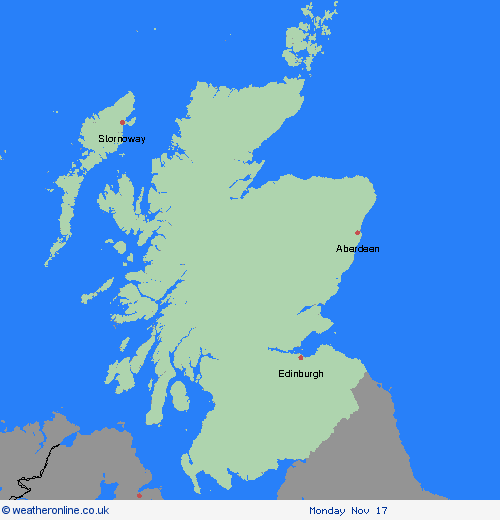
Region: SW Scotland, Lothian Borders
A slow-moving band of rain across central and southern Scotland will continue to slowly ease through the rest of Thursday. Whilst the majority of the rainfall has now fallen, a further 15-20 mm of rain is expected in places through to early evening. What Should I Do? Check if your property could be at risk of flooding. If so, consider preparing a flood plan and an emergency flood kit. Give yourself the best chance of avoiding delays by checking road conditions if driving, or bus and train timetables, amending your travel plans if necessary. People cope better with power cuts when they have prepared for them in advance. It’s easy to do; consider gathering torches and batteries, a mobile phone power pack and other essential items. Be prepared for weather warnings to change quickly: when a weather warning is issued, the Met Office recommends staying up to date with the weather forecast in your area.
Chief ForecasterPersistent and at times heavy rain leading to some disruption on Thursday.
The public is advised to take extra care, further information and advice can be found here: http://www.metoffice.gov.uk/weather/uk/links.html


13.11.2025