Weather Warnings Archive: Monday 02 Feb 2026 10:01 GMT - UK


00:00-06:00

06:00-12:00

12:00-18:00

18:00-24:00


Severe Weather Warnings: Ice
issued by the Metoffice at
10:01, 02.02.2026
valid from
19:00, 01.02.2026
until
09:00, 02.02.2026
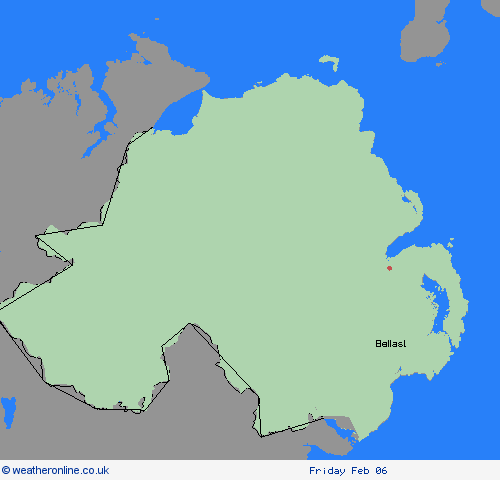
Region: Northern Ireland
With wet surfaces following recent rain, and temperatures falling close to or below freezing, icy patches will be possible on untreated surfaces for a time on Sunday night into Monday morning. Cloud increasing from the east later in the night may allow temperatures to recover, but it will likely remain cold with an ongoing ice risk in western areas into the morning commute hours. A few freezing fog patches may pose an additional hazard. What Should I Do? Keep yourself and your family safe when it is icy. Plan to leave the house at least five minutes earlier than normal. Not needing to rush, reduces your risk of accidents, slips, and falls. If you need to make a journey on foot, try to use pavements along main roads which are likely to be less slippery. Similarly, if cycling, try and stick to main roads which are more likely to have been treated. Give yourself the best chance of avoiding delays by checking road conditions if driving, or bus and train timetables, amending your travel plans if necessary. Be prepared for weather warnings to change: when a weather warning is issued, the Met Office recommends staying up to date with the weather forecast in your area.
Chief ForecasterIcy patches may form on untreated surfaces during Sunday night into Monday morning.
The public is advised to take extra care, further information and advice can be found here: http://www.metoffice.gov.uk/weather/uk/links.html


