Weather Warnings Archive: Monday 02 Feb 2026 10:01 GMT - UK


00:00-06:00

06:00-12:00

12:00-18:00

18:00-24:00


Severe Weather Warnings: Snow
issued by the Metoffice at
10:01, 02.02.2026
valid from
00:00, 03.02.2026
until
15:00, 04.02.2026
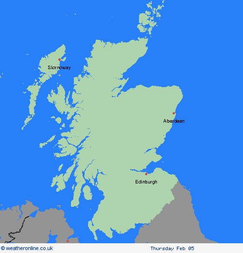
Region: Central, Tayside & Fife
Rain feeding into eastern and northern Scotland will increasingly fall as sleet and then snow through Tuesday and into Wednesday. By Wednesday accumulations of 1-3 cm are expected above 100 metres, with perhaps up to 5 cm in some places. For ground above 200 metres, accumulations of 10 cm are expected with some places locally seeing up to 20 cm. At low levels precipitation will be a mix of rain, sleet and snow which could lead to some small snow accumulations in places. Strong winds at times will lead to blizzard conditions and drifting of lying snow, especially in the north of the warning area. What Should I Do? Snowy, wintry weather can cause delays and make driving conditions dangerous. Keep yourself and others safe by planning your route, giving yourself extra time for your journey. Check for road closures or delays to public transport and amend plans if necessary. If driving, make sure you have some essentials in your car in the event of any delays (e.g., warm clothing, food, water, a blanket, a torch, ice scraper/de icer, a warning triangle, high visibility vest and an in-car phone charger). Be prepared for weather warnings to change quickly: when a weather warning is issued, the Met Office recommends staying up to date with the weather forecast in your area.
Chief ForecasterPeriods of sleet and snow on Tuesday and Wednesday could bring some disruption.
The public is advised to take extra care, further information and advice can be found here: http://www.metoffice.gov.uk/weather/uk/links.html


