Weather Warnings Archive: Friday 03 Oct 2025 00:00 BST - UK


00:00-06:00

06:00-12:00

12:00-18:00

18:00-24:00


Severe Weather Warnings: Rain
issued by the Metoffice at
23:00, 02.10.2025
valid from
10:02, 02.10.2025
until
22:00, 02.10.2025
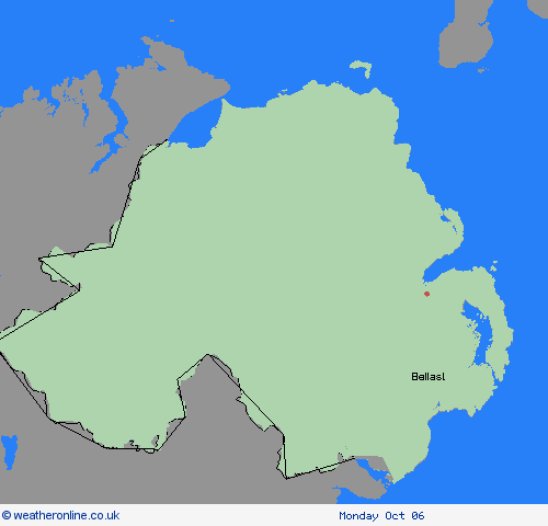
Region: Northern Ireland
Outbreaks of rain are likely at times on Thursday, becoming heavier and more persistent through the afternoon and early evening, before clearing to the east by Thursday night. Accumulations of 20-30 mm are likely fairly widely, with in excess of 40 mm possible over high ground. Given recent wet weather, this may lead to some flooding. It will also become rather windy for a time later on Thursday afternoon and into the evening, especially in the east with gusts along the coast potentially in excess of 50 mph. What Should I Do? Check if your property could be at risk of flooding. If so, consider preparing a flood plan and an emergency flood kit. Give yourself the best chance of avoiding delays by checking road conditions if driving, or bus and train timetables, amending your travel plans if necessary. People cope better with power cuts when they have prepared for them in advance. It’s easy to do; consider gathering torches and batteries, a mobile phone power pack and other essential items. Be prepared for weather warnings to change quickly: when a weather warning is issued, the Met Office recommends staying up to date with the weather forecast in your area.
Chief ForecasterHeavy rain on Thursday may lead to some flooding and travel disruption
The public is advised to take extra care, further information and advice can be found here: http://www.metoffice.gov.uk/weather/uk/links.html


03.10.2025