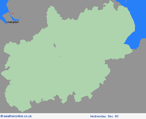
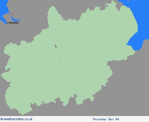
Weather Warnings Archive: Sunday 30 Nov 2025 09:00 GMT - UK


Severe Weather Warnings: Ice
issued by the Metoffice at
09:00, 30.11.2025
valid from
22:00, 29.11.2025
until
09:00, 30.11.2025
Region: East Midlands
Following rainfall earlier in the evening, surface temperatures are expected to fall widely below freezing. With surfaces left wet, ice is expected to form on untreated surfaces and may lead to hazardous travelling conditions. What Should I Do? Keep yourself and your family safe when it is icy. Plan to leave the house at least five minutes earlier than normal. Not needing to rush, reduces your risk of accidents, slips, and falls. If you need to make a journey on foot, try to use pavements along main roads which are likely to be less slippery. Similarly, if cycling, try and stick to main roads which are more likely to have been treated. Give yourself the best chance of avoiding delays by checking road conditions if driving, or bus and train timetables, amending your travel plans if necessary. Be prepared for weather warnings to change: when a weather warning is issued, the Met Office recommends staying up to date with the weather forecast in your area.
Chief ForecasterIcy stretches could cause some disruption on Saturday night and Sunday morning.
The public is advised to take extra care, further information and advice can be found here: http://www.metoffice.gov.uk/weather/uk/links.html
Severe Weather Warnings: Rain
issued by the Metoffice at
09:00, 30.11.2025
valid from
00:00, 01.12.2025
until
03:00, 02.12.2025
Region: East Midlands
An area of heavy rain will move steadily east across the area during Monday. Whilst the rain may ease for a time during the afternoon across Cumbria, another pulse of heavy rain is possible here during the evening and overnight, with all rain eventually clearing early Tuesday morning. 20-40 mm of rain is likely to fall quite widely across the warning area, but higher ground could see 50-80 mm, with perhaps nearer 100-120 mm in a few places over the Cumbrian fells. Strong south to southwesterly winds will also accompany the heavy rain, with gales possible around coasts and over high ground. What Should I Do? Check if your property could be at risk of flooding. If so, consider preparing a flood plan and an emergency flood kit. Give yourself the best chance of avoiding delays by checking road conditions if driving, or bus and train timetables, amending your travel plans if necessary. People cope better with power cuts when they have prepared for them in advance. It’s easy to do; consider gathering torches and batteries, a mobile phone power pack and other essential items. Be prepared for weather warnings to change quickly: when a weather warning is issued, the Met Office recommends staying up to date with the weather forecast in your area.
Chief ForecasterHeavy rain could bring some disruption on Monday and early Tuesday.
The public is advised to take extra care, further information and advice can be found here: http://www.metoffice.gov.uk/weather/uk/links.html
30.11.2025


