Weather Warnings Archive: Saturday 14 Feb 2026 22:00 GMT - UK


00:00-06:00

06:00-12:00

12:00-18:00

18:00-24:00


Severe Weather Warnings: Snow/Ice
issued by the Metoffice at
22:00, 14.02.2026
valid from
21:00, 14.02.2026
until
10:00, 15.02.2026
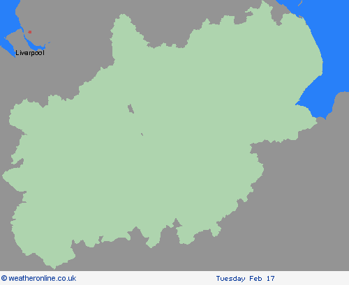
Region: West Midlands
Outbreaks of rain spreading eastwards on Saturday night will fall as snow initially, even to low levels for a time, before becoming confined to higher ground as milder air arrives from the west. Temporary snow accumulations of 1-3 cm will be possible at low levels, with 3-7 cm possible above about 150 m elevation, and perhaps 10-15 cm above 400 m. Areas sheltered to the north of high ground may see very little snow. Ice will be an additional hazard, particularly across northeast England and parts of Scotland where precipitation has the potential to fall on frozen ground leading to very slippery conditions. Snow will turn increasingly to rain into Sunday morning, perhaps as a short spell of freezing rain in places, before eventually clearing to the east with a steady thaw of lying snow then setting in. What Should I Do? Snowy, wintry weather can cause delays and make driving conditions dangerous. Keep yourself and others safe by planning your route, giving yourself extra time for your journey. Check for road closures or delays to public transport and amend plans if necessary. If driving, make sure you have some essentials in your car in the event of any delays (e.g., warm clothing, food, water, a blanket, a torch, ice scraper/de icer, a warning triangle, high visibility vest and an in-car phone charger). Keep yourself and your family safe when it is icy. Plan to leave the house at least five minutes earlier than normal. Not needing to rush, reduces your risk of accidents, slips, and falls. If you need to make a journey on foot, try to use pavements along main roads which are likely to be less slippery. Similarly, if cycling, try and stick to main roads which are more likely to have been treated. Be prepared for weather warnings to change quickly: when a weather warning is issued, the Met Office recommends staying up to date with the weather forecast in your area.q
Chief ForecasterSnow, heavy at times, may cause some disruption to travel, especially over high ground during Saturday night and Sunday morning
The public is advised to take extra care, further information and advice can be found here: http://www.metoffice.gov.uk/weather/uk/links.html
Severe Weather Warnings: Ice
issued by the Metoffice at
22:00, 14.02.2026
valid from
17:00, 13.02.2026
until
10:00, 14.02.2026
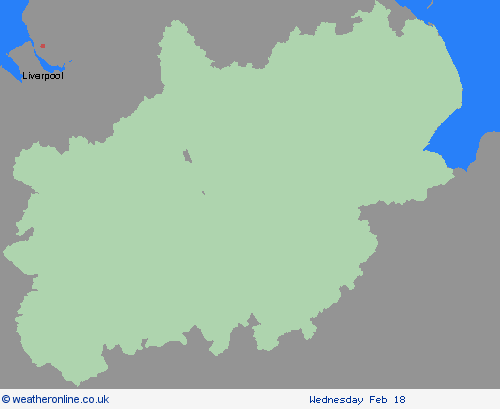
Region: West Midlands
A band of rain and sleet, with a little snow on hills, will clear southwards across England and Wales during Friday evening and overnight. As skies clear, temperatures will fall below freezing leading to a risk of ice forming on untreated surfaces. What Should I Do? Keep yourself and your family safe when it is icy. Plan to leave the house at least five minutes earlier than normal. Not needing to rush, reduces your risk of accidents, slips, and falls. If you need to make a journey on foot, try to use pavements along main roads which are likely to be less slippery. Similarly, if cycling, try and stick to main roads which are more likely to have been treated. Give yourself the best chance of avoiding delays by checking road conditions if driving, or bus and train timetables, amending your travel plans if necessary. Be prepared for weather warnings to change: when a weather warning is issued, the Met Office recommends staying up to date with the weather forecast in your area.
Chief ForecasterIcy surfaces leading to difficult travel conditions.
The public is advised to take extra care, further information and advice can be found here: http://www.metoffice.gov.uk/weather/uk/links.html


14.02.2026