Weather Warnings Archive: Thursday 12 Mar 2026 20:00 GMT - UK


00:00-06:00

06:00-12:00

12:00-18:00

18:00-24:00


Severe Weather Warnings: Wind
issued by the Metoffice at
20:00, 12.03.2026
valid from
05:00, 12.03.2026
until
20:00, 12.03.2026
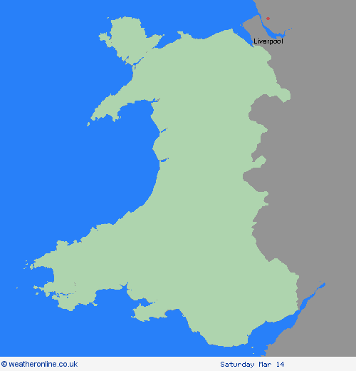
Region: Wales
Strong winds are expected during Thursday associated with an active weather front moving southeastwards across the UK. Gusts of 50-55 mph are expected widely, with some coastal locations and areas downwind of high ground seeing gusts of 60 mph or even 70 mph in a few places. Winds will ease from the north through the day. What Should I Do? Give yourself the best chance of avoiding delays by checking road conditions if driving, or bus and train timetables, amending your travel plans if necessary. People cope better with power cuts when they have prepared for them in advance. It’s easy to do; consider gathering torches and batteries, a mobile phone power pack and other essential items. If you are on the coast, stay safe during stormy weather by being aware of large waves. Even from the shore large breaking waves can sweep you off your feet and out to sea. Take care if walking near cliffs; know your route and keep dogs on a lead. In an emergency, call 999 and ask for the Coastguard. Be prepared for weather warnings to change quickly: when a weather warning is issued, the Met Office recommends staying up to date with the weather forecast in your area.
Chief ForecasterA period of strong winds, accompanied by heavy rain, is expected on Thursday with some transport disruption possible.
The public is advised to take extra care, further information and advice can be found here: http://www.metoffice.gov.uk/weather/uk/links.html


