Weather Warnings Archive: Saturday 20 Sep 2025 11:13 BST - UK


00:00-06:00

06:00-12:00

12:00-18:00

18:00-24:00


Severe Weather Warnings: Rain
issued by the Metoffice at
10:13, 20.09.2025
valid from
09:00, 20.09.2025
until
03:00, 21.09.2025
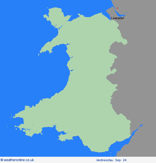
Region: Wales
A band of rain, heavy at times, across Wales, and northern and western England is expected to remain slow-moving during Saturday morning before making erratic eastward progress, eventually clearing early on Sunday. Whilst there is still some uncertainty in the focus for the heaviest rainfall, 20-30 mm of rain is likely to fall quite widely with some locations in the warning area seeing 60-80 mm of rain. These higher accumulations may not be confined to high ground only with these more probable over north Wales and northern England. Should confidence increase in these higher totals falling over urban or sensitive areas, this warning may be upgraded. As the area of rain clears east, a spell of strong northwesterly winds may develop later Saturday and Sunday morning, most likely towards North Sea coasts. What Should I Do? Check if your property could be at risk of flooding. If so, consider preparing a flood plan and an emergency flood kit. Give yourself the best chance of avoiding delays by checking road conditions if driving, or bus and train timetables, amending your travel plans if necessary. People cope better with power cuts when they have prepared for them in advance. It’s easy to do; consider gathering torches and batteries, a mobile phone power pack and other essential items. Be prepared for weather warnings to change quickly: when a weather warning is issued, the Met Office recommends staying up to date with the weather forecast in your area.
Chief ForecasterHeavy rainfall may cause some transport disruption and flooding, particularly across north Wales and northern England
The public is advised to take extra care, further information and advice can be found here: http://www.metoffice.gov.uk/weather/uk/links.html
Severe Weather Warnings: Wind
issued by the Metoffice at
10:13, 20.09.2025
valid from
15:00, 20.09.2025
until
04:00, 21.09.2025
Region: Wales
A developing area of low pressure may produce a short spell of very strong winds. Winds will initially strengthen across some western and southwestern areas, before migrating northeastwards, clearing into the North Sea during the early hours of Sunday morning. Whilst not everywhere in the warning is expected to experience very strong winds, some inland locations may see gusts of 50-60 mph whilst gusts of 65-75 mph are possible around some coasts. The strongest winds are more likely around Bristol Channel and the west Wales coast on Saturday afternoon and early evening, then along the North Sea coast of east and northeast England overnight into early Sunday morning. What Should I Do? Prepare to protect your property and people from injury. Check for loose items outside your home and plan how you could secure them. Items include; bins, garden furniture, trampolines, tents, sheds, and fences. Give yourself the best chance of avoiding delays by checking road conditions if driving, or bus and train timetables, amending your travel plans if necessary. People cope better with power cuts when they have prepared for them in advance. It’s easy to do; consider gathering torches and batteries, a mobile phone power pack and other essential items. If you are on the coast, stay safe during stormy weather by being aware of large waves. Even from the shore large breaking waves can sweep you off your feet and out to sea. Take care if walking near cliffs; know your route and keep dogs on a lead. In an emergency, call 999 and ask for the Coastguard. Be prepared for weather warnings to change quickly. When a weather warning is issued, the Met Office recommends staying up to date with the weather forecast in your area.
Chief ForecasterThere is a chance that a short spell of very strong winds will affect parts of England and Wales on Saturday afternoon and night.
The public is advised to take extra care, further information and advice can be found here: http://www.metoffice.gov.uk/weather/uk/links.html


20.09.2025