Weather Warnings Archive: Tuesday 06 Jan 2026 19:31 GMT - UK


00:00-06:00

06:00-12:00

12:00-18:00
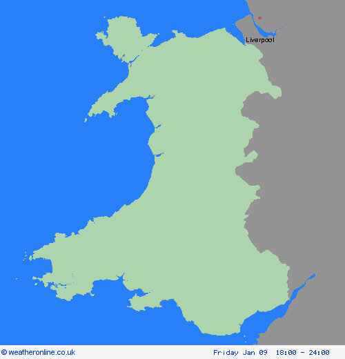
18:00-24:00


Severe Weather Warnings: Snow
issued by the Metoffice at
19:31, 06.01.2026
valid from
18:00, 08.01.2026
until
12:00, 09.01.2026
Region: Wales
A deep area of low pressure will move across the south of the UK during Thursday and into Friday bringing a mixture of rain, snow and strong winds. A spell of heavy snow is likely to develop over higher ground in south Wales later on Thursday before rain turns to snow more widely over parts of England and Wales during Thursday night. In some areas, 5-10 cm of snow may settle with the potential for up to 20 cm in some locations, especially over higher ground. Strong winds may lead to some drifting of snow. Rain and snow will then clear eastwards during Friday. This system has been named by Meteo France as the strongest winds associated with Storm Goretti are most likely over northern France. What Should I Do? Snowy, wintry weather can cause delays and make driving conditions dangerous, so to keep yourself and others safe: plan your route, checking for delays and road closures, amending your travel plans if necessary; if driving, leave more time to prepare and check your car before setting off; make sure you have essentials packed in your car in the event of any delays (warm clothing, food, water, a blanket, a torch, ice scraper/de-icer, a warning triangle, high visibility vest and an in-car phone charger). People cope better when they have prepared in advance for the risk of power cuts or being cut off from services and amenities due to the snow. It’s easy to do; consider gathering torches and batteries, a mobile phone power pack and other essential items. Be prepared for weather warnings to change quickly: when a weather warning is issued, the Met Office recommends staying up to date with the weather forecast in your area.
Chief ForecasterStorm Goretti likely to bring heavy snow leading to disruption and difficult travelling conditions.
The public is advised to take extra care, further information and advice can be found here: http://www.metoffice.gov.uk/weather/uk/links.html


06.01.2026