Weather Warnings Archive: Tuesday 02 Sep 2025 09:55 BST - UK


00:00-06:00

06:00-12:00
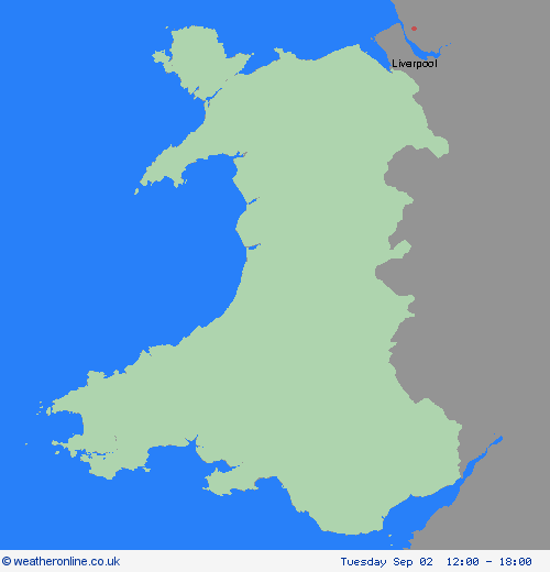
12:00-18:00

18:00-24:00


Severe Weather Warnings: Rain
issued by the Metoffice at
08:55, 02.09.2025
valid from
00:00, 03.09.2025
until
14:00, 03.09.2025
Region: Wales
Heavy rain and strong winds will move northeast through the first part of Wednesday, followed by heavy showers and some thunderstorms, these becoming more isolated through the afternoon. Rainfall totals widely 20-30 mm, but some places could see 40-60 mm within a period of 6-9 hours. Coastal gales are likely for a time, especially along English Channel coasts. What Should I Do? Give yourself the best chance of avoiding delays by checking road conditions if driving, or bus and train timetables, amending your travel plans if necessary. Check if your property could be at risk of flooding. If so, consider preparing a flood plan and an emergency flood kit. Be prepared for weather warnings to change quickly: when a weather warning is issued, the Met Office recommends staying up to date with the weather forecast in your area.
Chief ForecasterHeavy rain may cause travel disruption and flooding in places.
The public is advised to take extra care, further information and advice can be found here: http://www.metoffice.gov.uk/weather/uk/links.html

02.09.2025