Weather Warnings Archive: Saturday 19 Apr 2025 11:15 BST - UK


00:00-06:00

06:00-12:00

12:00-18:00

18:00-24:00


Severe Weather Warnings: Rain
issued by the Metoffice at
10:15, 19.04.2025
valid from
14:00, 18.04.2025
until
09:00, 19.04.2025
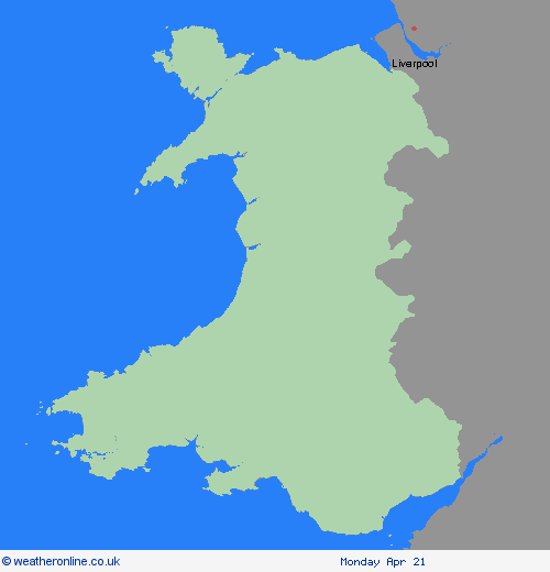
Region: Wales
Outbreaks of rain will become heavier and more persistent later today and continue into Saturday morning before easing. 20 to 40 mm of rain is likely to build up widely by Saturday morning and 50 to 75 mm rain is possible over and near areas of higher ground, especially in some southeastern parts of Wales where in excess of 75 mm may build-up in one or two places. Strong southeasterly winds will also accompany the rain. What Should I Do? Check if your property could be at risk of flooding. If so, consider preparing a flood plan and an emergency flood kit. Give yourself the best chance of avoiding delays by checking road conditions if driving, or bus and train timetables, amending your travel plans if necessary. People cope better with power cuts when they have prepared for them in advance. It’s easy to do; consider gathering torches and batteries, a mobile phone power pack and other essential items. Be prepared for weather warnings to change quickly: when a weather warning is issued, the Met Office recommends staying up to date with the weather forecast in your area.
Chief ForecasterSpells of rain, some of it heavy, will likely cause difficult driving conditions and some disruption to travel.
The public is advised to take extra care, further information and advice can be found here: http://www.metoffice.gov.uk/weather/uk/links.html

19.04.2025