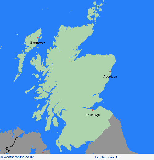
Weather Warnings Archive: Monday 12 Jan 2026 09:03 GMT - UK


00:00-06:00

06:00-12:00

12:00-18:00

18:00-24:00


Severe Weather Warnings: Wind
issued by the Metoffice at
09:03, 12.01.2026
valid from
21:00, 11.01.2026
until
08:00, 12.01.2026
Region: Strathclyde
A spell of strong southwesterly winds will develop on Sunday evening before easing during Monday morning. Gusts of 50-60 mph are expected widely. A brief spell of 70-80 mph gusts, perhaps 85 mph in the most exposed locations, are likely to affect parts of the Hebrides and western Highland coast late evening through the early hours of Monday morning. What Should I Do? Prepare to protect your property and people from injury. Check for loose items outside your home and plan how you could secure them. Items include; bins, garden furniture, trampolines, tents, sheds, and fences. Give yourself the best chance of avoiding delays by checking road conditions if driving, or bus and train timetables, amending your travel plans if necessary. People cope better with power cuts when they have prepared for them in advance. It’s easy to do; consider gathering torches and batteries, a mobile phone power pack and other essential items. If you are on the coast, stay safe during stormy weather by being aware of large waves. Even from the shore large breaking waves can sweep you off your feet and out to sea. Take care if walking near cliffs; know your route and keep dogs on a lead. In an emergency, call 999 and ask for the Coastguard. Be prepared for weather warnings to change quickly. When a weather warning is issued, the Met Office recommends staying up to date with the weather forecast in your area.
Chief ForecasterStrong winds may cause some disruption on Sunday night
The public is advised to take extra care, further information and advice can be found here: http://www.metoffice.gov.uk/weather/uk/links.html
Severe Weather Warnings: Ice
issued by the Metoffice at
09:03, 12.01.2026
valid from
19:00, 12.01.2026
until
10:00, 13.01.2026
Region: Strathclyde
A combination of clear spells and light winds will allow road temperatures to fall below freezing on Monday evening across northern Scotland, continuing overnight and into Tuesday morning. This will allow icy stretches to form on untreated surfaces. The public are advised to take extra care and be aware of the risk of some minor travel disruption. What Should I Do? Keep yourself and your family safe when it is icy. Plan to leave the house at least five minutes earlier than normal. Not needing to rush, reduces your risk of accidents, slips, and falls. If you need to make a journey on foot or by bike, try to use pavements along main roads which are likely to be less slippery. Give yourself the best chance of avoiding delays by checking road conditions if driving, or bus and train timetables, amending your travel plans if necessary. Be prepared for weather warnings to change: when a weather warning is issued, the Met Office recommends staying up to date with the weather forecast in your area.
Chief ForecasterIce formation may cause travel disruption through Monday night and Tuesday morning.
The public is advised to take extra care, further information and advice can be found here: http://www.metoffice.gov.uk/weather/uk/links.html
Severe Weather Warnings: Rain
issued by the Metoffice at
09:03, 12.01.2026
valid from
02:00, 11.01.2026
until
10:00, 12.01.2026
Region: Strathclyde
Areas of heavy rain will affect western and northern Scotland on Sunday and Monday. During Sunday, as the rain initially moves in, this will readily fall as snow away from lower elevations near the west coast, but as it turns increasingly milder, snow will turn back to rain widely across the warning area. 40-60 mm of rain could fall quite widely across the warning area, but 80-110 mm of rain is possible over parts of Skye, Lochaber, Argyll and the Trossachs. This coupled with a rapid thaw of lying snow brings the possibility of some flooding. What Should I Do? Check if your property could be at risk of flooding. If so, consider preparing a flood plan and an emergency flood kit. Give yourself the best chance of avoiding delays by checking road conditions if driving, or bus and train timetables, amending your travel plans if necessary. People cope better with power cuts when they have prepared for them in advance. It’s easy to do; consider gathering torches and batteries, a mobile phone power pack and other essential items. Be prepared for weather warnings to change quickly: when a weather warning is issued, the Met Office recommends staying up to date with the weather forecast in your area.
Chief ForecasterHeavy rain and snow melt will bring the possibility of some flooding on Sunday and Monday.
The public is advised to take extra care, further information and advice can be found here: http://www.metoffice.gov.uk/weather/uk/links.html


