Weather Warnings Archive: Sunday 23 Feb 2025 19:00 GMT - UK


00:00-06:00

06:00-12:00

12:00-18:00

18:00-24:00


Severe Weather Warnings: Rain
issued by the Metoffice at
19:00, 23.02.2025
valid from
12:00, 23.02.2025
until
08:00, 24.02.2025
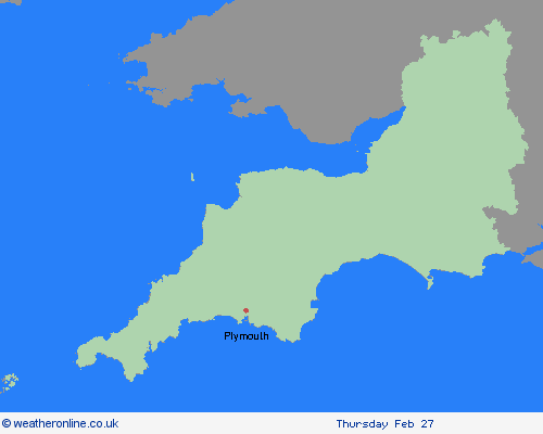
Region: South West England
Rain will become persistent and heavy through Sunday, clearing to the east overnight but followed by showers into Monday morning. Accumulations of 20-40 mm are expected fairly widely across the warning area, with the heaviest rain over high ground, especially over south or southwest-facing upslopes. As much as 70-100 mm may fall over Dartmoor. Rain will also be accompanied by strong south to southwesterly winds, making for poor travel conditions. What Should I Do? Check if your property could be at risk of flooding. If so, consider preparing a flood plan and an emergency flood kit. Give yourself the best chance of avoiding delays by checking road conditions if driving, or bus and train timetables, amending your travel plans if necessary. People cope better with power cuts when they have prepared for them in advance. It’s easy to do; consider gathering torches and batteries, a mobile phone power pack and other essential items. Be prepared for weather warnings to change quickly: when a weather warning is issued, the Met Office recommends staying up to date with the weather forecast in your area.
Chief ForecasterHeavy rain may lead to localised flooding and some disruption
The public is advised to take extra care, further information and advice can be found here: http://www.metoffice.gov.uk/weather/uk/links.html


23.02.2025