Weather Warnings Archive: Thursday 05 Feb 2026 11:27 GMT - UK


00:00-06:00

06:00-12:00

12:00-18:00

18:00-24:00


Severe Weather Warnings: Rain
issued by the Metoffice at
11:27, 05.02.2026
valid from
05:00, 05.02.2026
until
21:00, 06.02.2026
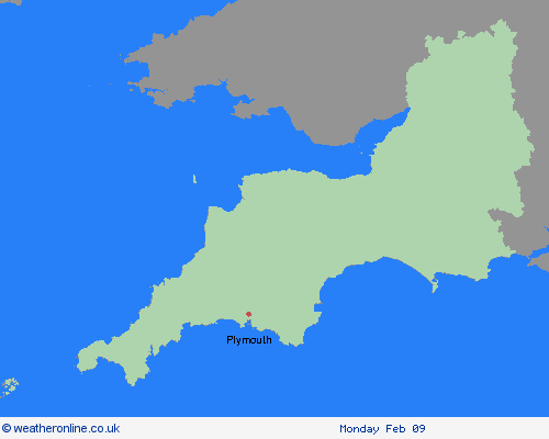
Region: South West England
An area of rain, heavy at times, will move northwards during Thursday morning. A brief drier and brighter spell may follow, but this likely to be short lived with heavy, slow moving showers through the afternoon, merging into longer spells of rain through the evening, overnight and through much of Friday. Through this event, 20-30mm is likely for many places, with some higher ground areas receiving in excess of 50mm. Given the widely saturated ground conditions, some surface water flooding is probable, with difficult driving conditions from spray, flowing water or flooded roads in particular. What Should I Do? Check if your property could be at risk of flooding. If so, consider preparing a flood plan and an emergency flood kit. Give yourself the best chance of avoiding delays by checking road conditions if driving, or bus and train timetables, amending your travel plans if necessary. People cope better with power cuts when they have prepared for them in advance. It’s easy to do; consider gathering torches and batteries, a mobile phone power pack and other essential items. Be prepared for weather warnings to change quickly: when a weather warning is issued, the Met Office recommends staying up to date with the weather forecast in your area.
Chief ForecasterPeriods of rain and heavy showers are likely to cause minor surface water flooding and disruption in places.
The public is advised to take extra care, further information and advice can be found here: http://www.metoffice.gov.uk/weather/uk/links.html

