Weather Warnings Archive: Saturday 24 Jan 2026 22:00 GMT - UK


00:00-06:00

06:00-12:00

12:00-18:00

18:00-24:00


Severe Weather Warnings: Rain
issued by the Metoffice at
22:00, 24.01.2026
valid from
02:00, 23.01.2026
until
22:00, 24.01.2026
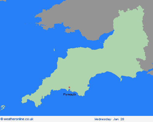
Region: South West England
Storm Ingrid (named by IPMA, the Portuguese Met Service), will slowly drift northwards over the Celtic Sea during Saturday, with bands of frequent heavy showers revolving around its centre, merging into longer spells of rain at times. An additional 20-40 mm, and in a few exposed locations 50 mm of rainfall is expected to fall. With ground conditions saturated in many places, further flooding of roads and flowing water from fields is likely even with modest amounts of rainfall, leading to difficult driving conditions and roads potentially becoming impassable at times. Although not as strong as yesterday, winds approaching gale force during Saturday morning may continue to exacerbate impacts at times, particularly along the English Channel coastline. What Should I Do? Check if your property could be at risk of flooding. If so, consider preparing a flood plan and an emergency flood kit. Give yourself the best chance of avoiding delays by checking road conditions if driving, or bus and train timetables, amending your travel plans if necessary. People cope better with power cuts when they have prepared for them in advance. It’s easy to do; consider gathering torches and batteries, a mobile phone power pack and other essential items. Be prepared for weather warnings to change quickly: when a weather warning is issued, the Met Office recommends staying up to date with the weather forecast in your area.
Chief ForecasterFurther heavy rain through Saturday is likely to cause some flooding and transport disruption
The public is advised to take extra care, further information and advice can be found here: http://www.metoffice.gov.uk/weather/uk/links.html

24.01.2026