Weather Warnings Archive: Wednesday 11 Mar 2026 12:00 GMT - UK


00:00-06:00

06:00-12:00

12:00-18:00

18:00-24:00


Severe Weather Warnings: Wind
issued by the Metoffice at
12:00, 11.03.2026
valid from
00:00, 11.03.2026
until
12:00, 11.03.2026
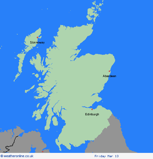
Region: Orkney & Shetland
A period of severe gales is likely to develop overnight Tuesday into Wednesday across the Outer and Inner Hebrides, steadily transferring northeast across other exposed parts of northwest mainland Scotland and into Orkney during Wednesday morning. Gusts of 65-70 mph are possible, with a small chance that a few locations could see gusts of 75-80 mph. Rain and blustery showers will accompany the strongest winds. What Should I Do? Give yourself the best chance of avoiding delays by checking road conditions if driving, or bus and train timetables, amending your travel plans if necessary. People cope better with power cuts when they have prepared for them in advance. It’s easy to do; consider gathering torches and batteries, a mobile phone power pack and other essential items. If you are on the coast, stay safe during stormy weather by being aware of large waves. Even from the shore large breaking waves can sweep you off your feet and out to sea. Take care if walking near cliffs; know your route and keep dogs on a lead. In an emergency, call 999 and ask for the Coastguard. Be prepared for weather warnings to change quickly: when a weather warning is issued, the Met Office recommends staying up to date with the weather forecast in your area.
Chief ForecasterA period of strong winds is likely to affect exposed parts of north and northwest Scotland early Wednesday.
The public is advised to take extra care, further information and advice can be found here: http://www.metoffice.gov.uk/weather/uk/links.html

11.03.2026