Weather Warnings Archive: Thursday 14 Aug 2025 22:00 BST - UK


00:00-06:00

06:00-12:00

12:00-18:00

18:00-24:00


Severe Weather Warnings: Thunderstorms
issued by the Metoffice at
21:00, 14.08.2025
valid from
12:00, 14.08.2025
until
22:00, 14.08.2025
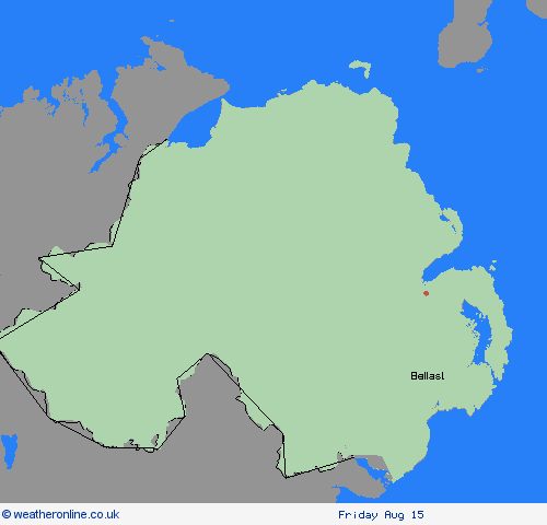
Region: Northern Ireland
A scattering of heavy showers, a few of which could turn thundery, are likely to develop across parts of eastern Northern Ireland this afternoon. Whilst very isolated lightning strikes are possible, the main hazard will come from heavy rain, which could cause flash flooding in a few places. Most places will see 10-20mm, or fewer, falling over the course of an hour or more, but the heaviest showers could deliver up to 40mm in an hour with a small chance that somewhere could see over 50mm through the afternoon. What Should I Do? Check if your property could be at risk of flooding. If so, consider preparing a flood plan and an emergency flood kit. Give yourself the best chance of avoiding delays by checking road conditions if driving, or bus and train timetables, amending your travel plans if necessary. People cope better with power cuts when they have prepared for them in advance. It’s easy to do; consider gathering torches and batteries, a mobile phone power pack and other essential items. Be prepared for weather warnings to change quickly: when a weather warning is issued, the Met Office recommends staying up to date with the weather forecast in your area.
Chief ForecasterScattered showers are likely to develop today, turning heavy in a few places. Flash flooding is possible where heavy showers occur.
The public is advised to take extra care, further information and advice can be found here: http://www.metoffice.gov.uk/weather/uk/links.html

14.08.2025