Weather Warnings Archive: Tuesday 06 Jan 2026 19:00 GMT - UK


00:00-06:00

06:00-12:00

12:00-18:00

18:00-24:00


Severe Weather Warnings: Ice
issued by the Metoffice at
19:00, 06.01.2026
valid from
18:00, 06.01.2026
until
11:00, 07.01.2026
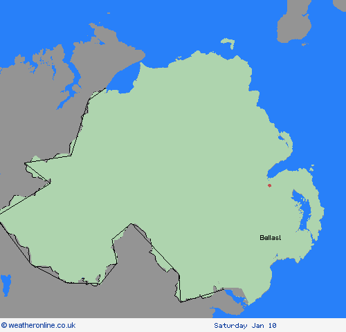
Region: Northern Ireland
After a less cold day than recently, clearing skies and a scattering of wintry showers from this evening will once again bring an ice risk overnight, especially on untreated surfaces. Showers may give a fresh dusting so snow in a few places. What Should I Do? Keep yourself and your family safe when it is icy. Plan to leave the house at least five minutes earlier than normal. Not needing to rush, reduces your risk of accidents, slips, and falls. If you need to make a journey on foot, try to use pavements along main roads which are likely to be less slippery. Similarly, if cycling, try and stick to main roads which are more likely to have been treated. Give yourself the best chance of avoiding delays by checking road conditions if driving, or bus and train timetables, amending your travel plans if necessary. Be prepared for weather warnings to change: when a weather warning is issued, the Met Office recommends staying up to date with the weather forecast in your area.
Chief ForecasterClearing skies and scattered wintry showers bringing icy patches and some disruption
The public is advised to take extra care, further information and advice can be found here: http://www.metoffice.gov.uk/weather/uk/links.html
Severe Weather Warnings: Ice
issued by the Metoffice at
19:00, 06.01.2026
valid from
17:00, 05.01.2026
until
10:00, 06.01.2026
Region: Northern Ireland
Following today's rain, sleet and snow showers, surface temperatures are expected to steadily fall below freezing in places under clearing skies. Where surfaces have been wet and left untreated, or where subsequent showers wash off surface treatment (this more likely in the north of the country), there is a risk of icy stretches which could lead to some impacts. What Should I Do? Keep yourself and your family safe when it is icy. Plan to leave the house at least five minutes earlier than normal. Not needing to rush, reduces your risk of accidents, slips, and falls. If you need to make a journey on foot, try to use pavements along main roads which are likely to be less slippery. Similarly, if cycling, try and stick to main roads which are more likely to have been treated. Give yourself the best chance of avoiding delays by checking road conditions if driving, or bus and train timetables, amending your travel plans if necessary. Be prepared for weather warnings to change: when a weather warning is issued, the Met Office recommends staying up to date with the weather forecast in your area.
Chief ForecasterIce formation on untreated surfaces is likely to cause impacts in places on Monday evening, and overnight into Tuesday morning
The public is advised to take extra care, further information and advice can be found here: http://www.metoffice.gov.uk/weather/uk/links.html


06.01.2026