Weather Warnings Archive: Monday 14 Apr 2025 12:50 BST - UK


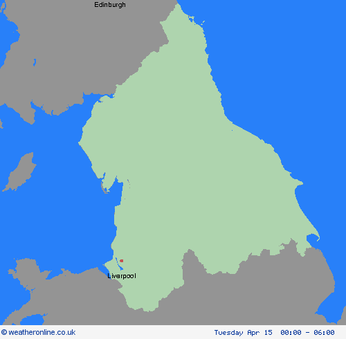
00:00-06:00

06:00-12:00

12:00-18:00

18:00-24:00


Severe Weather Warnings: Rain
issued by the Metoffice at
11:50, 14.04.2025
valid from
12:00, 15.04.2025
until
12:00, 16.04.2025
Region: North West England
A spell of heavy and persistent rain is expected to move north across western Britain during Tuesday into early Wednesday. Whilst there is some uncertainty in where the heaviest rain will fall, 20-40 mm of rain is expected fairly widely. A few places may see 50-75 mm of rain during this period: gradually building up in the west following rain on Monday, whilst in parts of the east, falling in shorter periods where heavy showers and thunderstorms become slow-moving. What Should I Do? Check if your property could be at risk of flooding. If so, consider preparing a flood plan and an emergency flood kit. Give yourself the best chance of avoiding delays by checking road conditions if driving, or bus and train timetables, amending your travel plans if necessary. People cope better with power cuts when they have prepared for them in advance. It’s easy to do; consider gathering torches and batteries, a mobile phone power pack and other essential items. Be prepared for weather warnings to change quickly: when a weather warning is issued, the Met Office recommends staying up to date with the weather forecast in your area.
Chief ForecasterHeavy rain may result in some transport disruption and flooding in places on Tuesday and Wednesday.
The public is advised to take extra care, further information and advice can be found here: http://www.metoffice.gov.uk/weather/uk/links.html

14.04.2025