Weather Warnings Archive: Monday 05 Jan 2026 09:44 GMT - UK


00:00-06:00

06:00-12:00

12:00-18:00

18:00-24:00


Severe Weather Warnings: Snow/Ice
issued by the Metoffice at
09:44, 05.01.2026
valid from
00:00, 06.01.2026
until
11:00, 06.01.2026
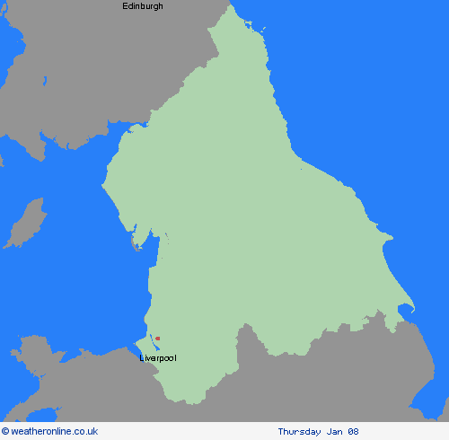
Region: North West England
An area of mainly light snow will move east across southern Scotland into northern England on Tuesday morning before largely fading and clearing during Tuesday afternoon. A few heavier bursts are possible over the Southern Uplands, the Lake District and the northern Pennines. Most places will see no more than 1-2 cm of snow but a few places over higher ground in the Lake District, northern Pennines and Southern Uplands may see up to 5 cm. This will fall onto frozen surfaces resulting in some icy conditions and could lead to some disruption, particularly to travel over higher routes in the north of the warning area. What Should I Do? Snowy, wintry weather can cause delays and make driving conditions dangerous. Keep yourself and others safe by planning your route, giving yourself extra time for your journey. Check for road closures or delays to public transport and amend plans if necessary. If driving, make sure you have some essentials in your car in the event of any delays (e.g., warm clothing, food, water, a blanket, a torch, ice scraper/de icer, a warning triangle, high visibility vest and an in-car phone charger). Be prepared for weather warnings to change quickly: when a weather warning is issued, the Met Office recommends staying up to date with the weather forecast in your area.
Chief ForecasterSnow and ice may cause some disruption on Tuesday morning, particularly to travel.
The public is advised to take extra care, further information and advice can be found here: http://www.metoffice.gov.uk/weather/uk/links.html
Severe Weather Warnings: Snow/Ice
issued by the Metoffice at
09:44, 05.01.2026
valid from
12:00, 04.01.2026
until
12:00, 05.01.2026
Region: North West England
Snow showers are expected to push further inland across Wales, parts of northwest England, the West Midlands and southwest England during Sunday afternoon and evening. Along windward coasts, some rain and sleet is likely, but inland showers will fall as snow. Whilst not all locations in the warning area will see snow, 1-3 cm could develop in many places by Monday morning, with the potential for 5-8 cm to build up in a few locations, particularly across inland and higher parts of Wales. Icy stretches are likely to form widely. What Should I Do? Snowy, wintry weather can cause delays and make driving conditions dangerous. Keep yourself and others safe by planning your route, giving yourself extra time for your journey. Check for road closures or delays to public transport and amend plans if necessary. Keep yourself and your family safe when it is icy. Plan to leave the house at least five minutes earlier than normal. Not needing to rush, reduces your risk of accidents, slips, and falls. If you need to make a journey on foot, try to use pavements along main roads which are likely to be less slippery. Similarly, if cycling, try and stick to main roads which are more likely to have been treated. Give yourself the best chance of avoiding delays by checking road conditions if driving, or bus and train timetables, amending your travel plans if necessary. If driving, make sure you have some essentials in your car in the event of any delays (e.g., warm clothing, food, water, a blanket, a torch, ice scraper/de icer, a warning triangle, high visibility vest and an in-car phone charger). Be prepared for weather warnings to change: when a weather warning is issued, the Met Office recommends staying up to date with the weather forecast in your area.
Chief ForecasterSnow and ice has the potential to cause disruption to travel in places Sunday afternoon through to Monday morning.
The public is advised to take extra care, further information and advice can be found here: http://www.metoffice.gov.uk/weather/uk/links.html


05.01.2026