Weather Warnings Archive: Saturday 20 Sep 2025 10:31 BST - UK


00:00-06:00

06:00-12:00

12:00-18:00

18:00-24:00


Severe Weather Warnings: Rain
issued by the Metoffice at
09:31, 20.09.2025
valid from
09:00, 20.09.2025
until
03:00, 21.09.2025
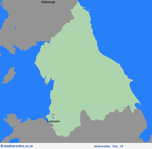
Region: North West England
A band of rain, heavy at times, across Wales, and northern and western England is expected to remain slow-moving during Saturday morning before making erratic eastward progress, eventually clearing early on Sunday. Whilst there is still some uncertainty in the focus for the heaviest rainfall, 20-30 mm of rain is likely to fall quite widely with some locations in the warning area seeing 60-80 mm of rain. These higher accumulations may not be confined to high ground only with these more probable over north Wales and northern England. Should confidence increase in these higher totals falling over urban or sensitive areas, this warning may be upgraded. As the area of rain clears east, a spell of strong northwesterly winds may develop later Saturday and Sunday morning, most likely towards North Sea coasts. What Should I Do? Check if your property could be at risk of flooding. If so, consider preparing a flood plan and an emergency flood kit. Give yourself the best chance of avoiding delays by checking road conditions if driving, or bus and train timetables, amending your travel plans if necessary. People cope better with power cuts when they have prepared for them in advance. It’s easy to do; consider gathering torches and batteries, a mobile phone power pack and other essential items. Be prepared for weather warnings to change quickly: when a weather warning is issued, the Met Office recommends staying up to date with the weather forecast in your area.
Chief ForecasterHeavy rainfall may cause some transport disruption and flooding, particularly across north Wales and northern England
The public is advised to take extra care, further information and advice can be found here: http://www.metoffice.gov.uk/weather/uk/links.html

20.09.2025