Weather Warnings Archive: Friday 02 Jan 2026 10:28 GMT - UK


00:00-06:00

06:00-12:00

12:00-18:00

18:00-24:00


Severe Weather Warnings: Snow/Ice
issued by the Metoffice at
10:28, 02.01.2026
valid from
00:00, 03.01.2026
until
23:59, 03.01.2026
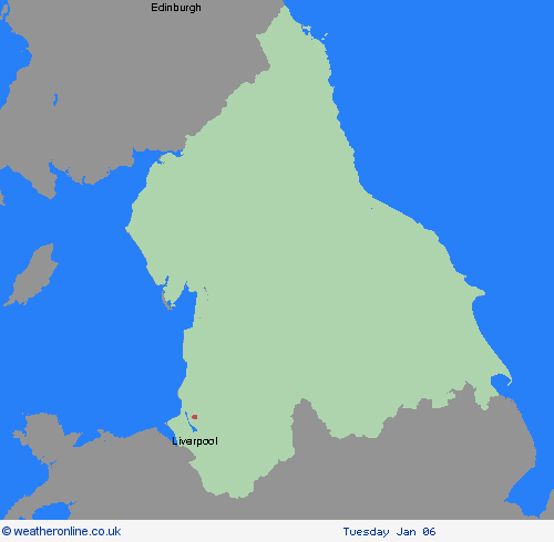
Region: North East England
Snow showers are expected to spread further inland in the early hours of Saturday, becoming frequent and perhaps heavy at times. Around 1-3 cm of snow is likely to accumulate quite widely, with 5-8 cm possible in places, this most likely across the North York Moors. The snow showers will gradually become lighter and less frequent during Saturday evening, and move offshore overnight. Icy patches will also form, particularly during Saturday evening where roads have potentially been left wet from partially thawed snow during the daytime. What Should I Do? Snowy, wintry weather can cause delays and make driving conditions dangerous. Keep yourself and others safe by planning your route, giving yourself extra time for your journey. Check for road closures or delays to public transport and amend plans if necessary. If driving, make sure you have some essentials in your car in the event of any delays (e.g., warm clothing, food, water, a blanket, a torch, ice scraper/de icer, a warning triangle, high visibility vest and an in-car phone charger). Be prepared for weather warnings to change quickly: when a weather warning is issued, the Met Office recommends staying up to date with the weather forecast in your area.
Chief ForecasterFrequent heavy snow showers, moving in from the coast, may bring disruption to travel on Saturday
The public is advised to take extra care, further information and advice can be found here: http://www.metoffice.gov.uk/weather/uk/links.html


02.01.2026