Weather Warnings Archive: Tuesday 03 Feb 2026 18:00 GMT - UK


00:00-06:00

06:00-12:00

12:00-18:00

18:00-24:00


Severe Weather Warnings: Rain
issued by the Metoffice at
18:00, 03.02.2026
valid from
18:00, 02.02.2026
until
18:00, 03.02.2026
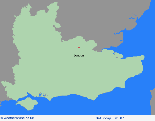
Region: London & South East England
Rain will persist across the warning area through much of Tuesday, before gradually clearing to the north later in the day. A further 5-15 mm of rain may accumulate quite widely, and given the saturated ground, this may lead to some further flooding and disruption in places, or slow any recovery from flooding in recent days. What Should I Do? Check if your property could be at risk of flooding. If so, consider preparing a flood plan and an emergency flood kit. Give yourself the best chance of avoiding delays by checking road conditions if driving, or bus and train timetables, amending your travel plans if necessary. People cope better with power cuts when they have prepared for them in advance. It’s easy to do; consider gathering torches and batteries, a mobile phone power pack and other essential items. Be prepared for weather warnings to change quickly: when a weather warning is issued, the Met Office recommends staying up to date with the weather forecast in your area.
Chief ForecasterFurther rainfall during Tuesday may lead to some flooding and disruption.
The public is advised to take extra care, further information and advice can be found here: http://www.metoffice.gov.uk/weather/uk/links.html


