Weather Warnings Archive: Friday 02 Jan 2026 15:27 GMT - UK


00:00-06:00

06:00-12:00

12:00-18:00

18:00-24:00


Severe Weather Warnings: Snow/Ice
issued by the Metoffice at
15:27, 02.01.2026
valid from
03:00, 05.01.2026
until
15:00, 05.01.2026
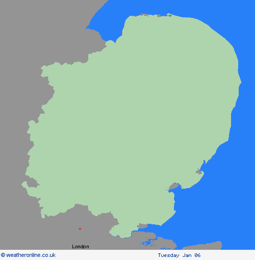
Region: East of England
Snow showers are expected to move inland from the North Sea in the early hours of Monday, becoming frequent and perhaps heavy at times, before easing by early afternoon. Around 1-3 cm of snow is likely to accumulate quite widely, with 5-8 cm possible in places, this most likely across the North York Moors. Icy patches are also likely to form. What Should I Do? Snowy, wintry weather can cause delays and make driving conditions dangerous. Keep yourself and others safe by planning your route, giving yourself extra time for your journey. Check for road closures or delays to public transport and amend plans if necessary. Keep yourself and your family safe when it is icy. Plan to leave the house at least five minutes earlier than normal. Not needing to rush, reduces your risk of accidents, slips, and falls. If you need to make a journey on foot, try to use pavements along main roads which are likely to be less slippery. Similarly, if cycling, try and stick to main roads which are more likely to have been treated. Give yourself the best chance of avoiding delays by checking road conditions if driving, or bus and train timetables, amending your travel plans if necessary. If driving, make sure you have some essentials in your car in the event of any delays (e.g., warm clothing, food, water, a blanket, a torch, ice scraper/de icer, a warning triangle, high visibility vest and an in-car phone charger). Be prepared for weather warnings to change: when a weather warning is issued, the Met Office recommends staying up to date with the weather forecast in your area.
Chief ForecasterSnow and ice have the potential to cause disruption to travel in places on Monday, particularly during the morning.
The public is advised to take extra care, further information and advice can be found here: http://www.metoffice.gov.uk/weather/uk/links.html


02.01.2026