Weather Warnings Archive: Friday 09 Jan 2026 16:00 GMT - UK


00:00-06:00

06:00-12:00

12:00-18:00
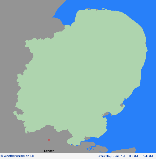
18:00-24:00


Severe Weather Warnings: Ice
issued by the Metoffice at
16:00, 09.01.2026
valid from
12:00, 09.01.2026
until
12:00, 10.01.2026
Region: East of England
Partially thawed snow during Friday will likely freeze overnight as temperatures fall below freezing, leading to a widespread ice risk. In addition, wintry showers will continue to feed into parts of Wales and southwest England at times, perhaps also into the West Midlands. Whilst there is some uncertainty as to the extent of any precipitation, this falling onto frozen surfaces may also add to the risk of ice. Freezing fog patches are also likely in places, posing an additional ice hazard. What Should I Do? Keep yourself and your family safe when it is icy. Plan to leave the house at least five minutes earlier than normal. Not needing to rush, reduces your risk of accidents, slips, and falls. If you need to make a journey on foot, try to use pavements along main roads which are likely to be less slippery. Similarly, if cycling, try and stick to main roads which are more likely to have been treated. Give yourself the best chance of avoiding delays by checking road conditions if driving, or bus and train timetables, amending your travel plans if necessary. Be prepared for weather warnings to change: when a weather warning is issued, the Met Office recommends staying up to date with the weather forecast in your area.
Chief ForecasterPartially thawed snow refreezing, accompanied by freezing fog and a few wintry showers, will bring the risk of ice overnight into Saturday
The public is advised to take extra care, further information and advice can be found here: http://www.metoffice.gov.uk/weather/uk/links.html


09.01.2026