Weather Warnings Archive: Sunday 15 Feb 2026 16:30 GMT - UK


00:00-06:00

06:00-12:00

12:00-18:00

18:00-24:00


Severe Weather Warnings: Snow
issued by the Metoffice at
16:30, 15.02.2026
valid from
10:00, 15.02.2026
until
16:00, 15.02.2026
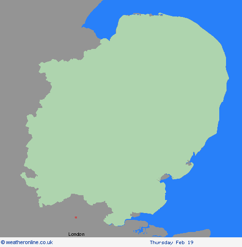
Region: East of England
Rain moving eastwards through Sunday morning is likely to turn increasingly to sleet and snow. Slushy accumulations of a cm or so are likely with a chance of 2-4 cm should snow turn briefly heavier, this more likely for the Lincolnshire Wolds and parts of Norfolk and Suffolk. Snow should turn back to rain, before clearing late afternoon, with any lying snow melting readily. What Should I Do? Snowy, wintry weather can cause delays and make driving conditions dangerous. Keep yourself and others safe by planning your route, giving yourself extra time for your journey. Check for road closures or delays to public transport and amend plans if necessary. If driving, make sure you have some essentials in your car in the event of any delays (e.g., warm clothing, food, water, a blanket, a torch, ice scraper/de icer, a warning triangle, high visibility vest and an in-car phone charger). Be prepared for weather warnings to change quickly: when a weather warning is issued, the Met Office recommends staying up to date with the weather forecast in your area.
Chief ForecasterA spell of snow may lead to some disruption to travel.
The public is advised to take extra care, further information and advice can be found here: http://www.metoffice.gov.uk/weather/uk/links.html

