Weather Warnings Archive: Thursday 23 Oct 2025 10:30 BST - UK


00:00-06:00

06:00-12:00

12:00-18:00

18:00-24:00


Severe Weather Warnings: Wind
issued by the Metoffice at
09:30, 23.10.2025
valid from
03:00, 23.10.2025
until
15:00, 23.10.2025
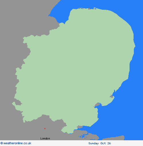
Region: East of England
A spell of strong northwesterly winds associated with Storm Benjamin are expected this morning through to mid-afternoon. Gusts of 40-45 mph are expected to fairly widely, whilst 50-55 mph is possible along some exposed coasts. Whilst winds will remain strong along the East Anglia coast into Thursday night, the likelihood of impacts will decrease. What Should I Do? Give yourself the best chance of avoiding delays by checking road conditions if driving, or bus and train timetables, amending your travel plans if necessary. People cope better with power cuts when they have prepared for them in advance. It’s easy to do; consider gathering torches and batteries, a mobile phone power pack and other essential items. If you are on the coast, stay safe during stormy weather by being aware of large waves. Even from the shore large breaking waves can sweep you off your feet and out to sea. Take care if walking near cliffs; know your route and keep dogs on a lead. In an emergency, call 999 and ask for the Coastguard. Be prepared for weather warnings to change quickly: when a weather warning is issued, the Met Office recommends staying up to date with the weather forecast in your area.
Chief ForecasterStrong winds may cause some travel disruption across east and southeast England on Thursday
The public is advised to take extra care, further information and advice can be found here: http://www.metoffice.gov.uk/weather/uk/links.html
Severe Weather Warnings: Cancelled
issued by the Metoffice at
09:30, 23.10.2025
valid from
00:00, 23.10.2025
until
18:00, 23.10.2025
Region: East of England
Severe Weather Warnings: Rain
issued by the Metoffice at
09:30, 23.10.2025
valid from
00:00, 23.10.2025
until
16:00, 23.10.2025
Region: East of England
A band of rain associated with Storm Benjamin will slowly move east during Thursday but is expected to produce some heavy rain in places, particularly this morning. Whilst most places will only see around 10-15 mm of rain today, a few locations, particularly nearer the coast could see 20-30 mm from shorter bursts of heavy rain. What Should I Do? Check if your property could be at risk of flooding. If so, consider preparing a flood plan and an emergency flood kit. Give yourself the best chance of avoiding delays by checking road conditions if driving, or bus and train timetables, amending your travel plans if necessary. People cope better with power cuts when they have prepared for them in advance. It’s easy to do; consider gathering torches and batteries, a mobile phone power pack and other essential items. Be prepared for weather warnings to change quickly: when a weather warning is issued, the Met Office recommends staying up to date with the weather forecast in your area.
Chief ForecasterHeavy rain may lead to some travel delays and flooding in places
The public is advised to take extra care, further information and advice can be found here: http://www.metoffice.gov.uk/weather/uk/links.html

