Weather Warnings Archive: Monday 26 Jan 2026 10:32 GMT - UK


00:00-06:00

06:00-12:00

12:00-18:00

18:00-24:00


Severe Weather Warnings: Rain/Snow
issued by the Metoffice at
10:32, 26.01.2026
valid from
00:00, 27.01.2026
until
17:00, 27.01.2026
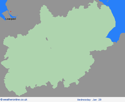
Region: East Midlands
Outbreaks of rain will spread northwards on Monday night into Tuesday, falling as snow on high ground. Rainfall accumulations of 20-30mm are likely fairly widely with 40-50mm possible in places. Totals may accumulate fairly quickly in parts of the southern Pennines and southwest Scotland, which could see accumulations of 20mm in a 3 hour period. Whilst accumulating snow is unlikely at low-levels, there will be a sharp increase in snow depths with elevation, with the potential for 2-5 cm in places above about 300m, 5-10 cm above 400m, and 10-20 cm above 500m. This may impact some high-level routes, with drifting possible in rather brisk southeasterly winds. Strong, gusty winds, especially to the west of hills, may exacerbate the potential for transport disruption. Snow may transition back to rain on some hills as slightly milder air arrives the south. What Should I Do? Snowy, wintry weather can cause delays and make driving conditions dangerous. Keep yourself and others safe by planning your route, giving yourself extra time for your journey. Check for road closures or delays to public transport and amend plans if necessary. If driving, make sure you have some essentials in your car in the event of any delays (e.g., warm clothing, food, water, a blanket, a torch, ice scraper/de icer, a warning triangle, high visibility vest and an in-car phone charger). Check if your property could be at risk of flooding. If so, consider preparing a flood plan and an emergency flood kit. Give yourself the best chance of avoiding delays by checking road conditions if driving, or bus and train timetables, amending your travel plans if necessary. People cope better with power cuts when they have prepared for them in advance. It’s easy to do; consider gathering torches and batteries, a mobile phone power pack and other essential items. Be prepared for weather warnings to change quickly: when a weather warning is issued, the Met Office recommends staying up to date with the weather forecast in your area.
Chief ForecasterHeavy rain will turn to snow over high ground which may lead to some travel and power disruption on Tuesday
The public is advised to take extra care, further information and advice can be found here: http://www.metoffice.gov.uk/weather/uk/links.html


26.01.2026