Weather Warnings Archive: Saturday 10 Jan 2026 10:23 GMT - UK


00:00-06:00

06:00-12:00

12:00-18:00

18:00-24:00


Severe Weather Warnings: Snow
issued by the Metoffice at
10:23, 10.01.2026
valid from
03:00, 11.01.2026
until
14:00, 11.01.2026
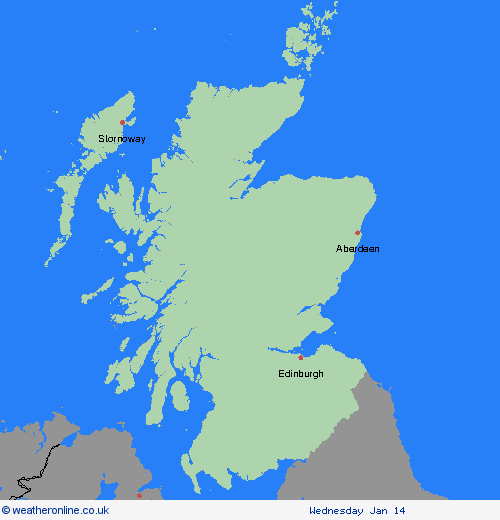
Region: Central, Tayside & Fife
A band of snow will move across the warning area during Sunday morning and early afternoon. Snow is expected to fall to low levels across the warning area during the morning before becoming increasingly confined to higher ground in the afternoon. 2 to 5 cm is likely to low levels, with 10-15 cm above 150 metres elevation and locally 20-30 cm above 300 metres elevation. Strong winds will lead to some drifting of the snow and blizzard conditions, with deep drifts possible. During the afternoon, snow is likely to turn to sleet and then rain before it clears which will help to melt some of the snow at lower elevations, increasing the risk of flooding. What Should I Do? It is safer not to drive in these conditions, but if you need to make an essential journey, consider alternative forms of transport, to keep you and others safe. If you must drive, do this more safely by: using dipped headlights; accelerating gently, using low revs and changing to higher gears as quickly as possible; starting in second gear to help with wheel slip; maintaining a safe and steady speed, keeping distance from other vehicles; using a low gear to go downhill, avoiding braking unless necessary; steering into skids, not taking your hands of the wheel, and avoiding slamming on brakes. People cope better with power cuts when they have prepared for them in advance. It’s easy to do; consider gathering torches and batteries, a mobile phone power pack and other essential items. If isolated due to snow, follow these simple steps to keep safe and well: keep the thermostat set to the same temperature both during the day and at night; turn off electrical heaters and put out your fire before going to bed; ensure pets are safe by keeping them warm and comfortable; prevent frozen pipes by opening kitchen and bathroom cabinet doors to allow warmer air to circulate around the plumbing; stay indoors, wrap up warm and close internal doors to keep the heat in; and, if you need support call the British Red Cross Support Line on 0808 196 3651. Help to protect vulnerable people that you know including older people, those with underlying conditions and those who live alone; they may need support with food and medical supplies. If you are worried about your health or that of somebody you know, ring NHS 111 (or consult NI:DIRECT if in Northern Ireland). Stay up to date with the weather forecast for your area and follow advice from emergency services and local authorities
Chief ForecasterHeavy and persistent snowfall will lead to further snow accumulations and disruption during Sunday.
The public is advised to take extra care, further information and advice can be found here: http://www.metoffice.gov.uk/weather/uk/links.html
Severe Weather Warnings: Snow/Ice
issued by the Metoffice at
10:23, 10.01.2026
valid from
02:00, 11.01.2026
until
15:00, 11.01.2026
Region: Central, Tayside & Fife
A band of snow will move across the warning area through Sunday morning. Across northern England this will mostly be confined to ground above 200 metres elevation, but across Scotland this could fall to low levels during the morning, before becoming increasingly confined to higher ground through the afternoon. Whilst not all areas may see accumulating snow at low levels, 2 to 5cm is likely, perhaps locally 10 cm. Above 200 metres elevation 10 to 20 cm is possible, perhaps locally up to 30 cm on hills exposed to the strong southerly winds, and over the highest parts of Scotland. Strong winds will lead to some drifting of the snow, and widely icy conditions are likely. Amounts of snow will depend quite heavily on both elevation and the intensity of precipitation, and as the band pushes east through the afternoon, it will begin to transition to an awkward mix of rain, sleet and snow. Therefore there is likely to be a lot of variation, even over relatively short distances. What Should I Do? Snowy, wintry weather can cause delays and make driving conditions dangerous, so to keep yourself and others safe: plan your route, checking for delays and road closures, amending your travel plans if necessary; if driving, leave more time to prepare and check your car before setting off; make sure you have essentials packed in your car in the event of any delays (warm clothing, food, water, a blanket, a torch, ice scraper/de-icer, a warning triangle, high visibility vest and an in-car phone charger). People cope better with power cuts when they have prepared for them in advance. It’s easy to do; consider gathering torches and batteries, a mobile phone power pack and other essential items. Be prepared for weather warnings to change quickly: when a weather warning is issued, the Met Office recommends staying up to date with the weather forecast in your area.
Chief ForecasterA spell of snow will lead to some disruption on Sunday.
The public is advised to take extra care, further information and advice can be found here: http://www.metoffice.gov.uk/weather/uk/links.html


10.01.2026