Comments
Membership info
Register new
Login
City:
Home
Forecasts
UK Forecast
Morning Call
Week ahead
Month ahead
Seasonal outlook
Europe Forecast
Topics
Extra
Scratchbox
Warning UK
Weather Maps
United Kingdom
Ireland
Worldwide
Graphical forecast
Expert Charts
Weather Search
UV Index
Water
Current Weather
Weather
Weather Search
Radar
Satellite
Lightning
Webcams
Tropical Storms
Archive
Graphs
Tables
Climate
Graphs
Climate Finder
Travel Planner
Sport
Sailing
Golf
Wimbledon
Tour Weather
Winter Sports
Extra
Weather Facts
Wind of the World
Climate of the World
Weather Lore
Weather Brains
Philip Eden
Oil spill
Fukushima
Volcanic ash
Video
Services
Mobile Weather
B2B
Free Services
Personal Weather
Member
Press Release
Agriculture
Weather Warnings
Archive
: Saturday 19 Jul 2025 03:00 BST - UK
today
Sa 19
Su 20
Mo 21
Tu 22
We 23
00:00-06:00
06:00-12:00
12:00-18:00
18:00-24:00
Be aware
Be prepared
Take action
Coloured regions on the map show where severe weather warnings have been issued.
Wind
Rain
Snow
Ice
Fog
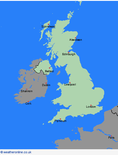
Weather Warnings, 03.04.2026, UK
UK
Overview
Orkney & Shetland
Highland & Eilean Siar
Grampian
Strathclyde
Central, Tayside & Fife
SW Scotland, Lothian Borders
Northern Ireland
Wales
North West England
North East England
Yorkshire & Humber
West Midlands
East Midlands
East of England
South West England
London & South East England
Archive
19.07.2025
today
<
July
S
M
T
W
T
F
S
1
2
3
4
5
6
7
8
9
10
11
12
13
14
15
16
17
18
19
20
21
22
23
24
25
26
27
28
29
30
31
>
<
2025
>
Advertisement
Advertisement