Weather Warnings Archive: Thursday 28 Aug 2025 07:56 BST - UK


00:00-06:00

06:00-12:00

12:00-18:00
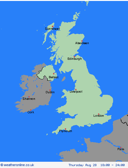
18:00-24:00


Severe Weather Warnings: Rain
issued by the Metoffice at
06:56, 28.08.2025
valid from
07:56, 28.08.2025
until
16:00, 28.08.2025
Region: Wales
Persistent heavy showers are likely to continue to feed in across the region, from the Bristol Channel, for the next several hours. They will tend to become less frequent later this afternoon as the wind direction changes from southwesterly to westerly. What Should I Do? Check if your property could be at risk of flooding. If so, consider preparing a flood plan and an emergency flood kit. Give yourself the best chance of avoiding delays by checking road conditions if driving, or bus and train timetables, amending your travel plans if necessary. People cope better with power cuts when they have prepared for them in advance. It’s easy to do; consider gathering torches and batteries, a mobile phone power pack and other essential items. Be prepared for weather warnings to change quickly: when a weather warning is issued, the Met Office recommends staying up to date with the weather forecast in your area.
Chief ForecasterFrequent heavy showers are likely to continue Thursday morning and early afternoon, before gradually easing through mid-to-late afternoon.
The public is advised to take extra care, further information and advice can be found here: http://www.metoffice.gov.uk/weather/uk/links.html

28.08.2025